Medium airport · United States
Wittman Regional AirportKOSH
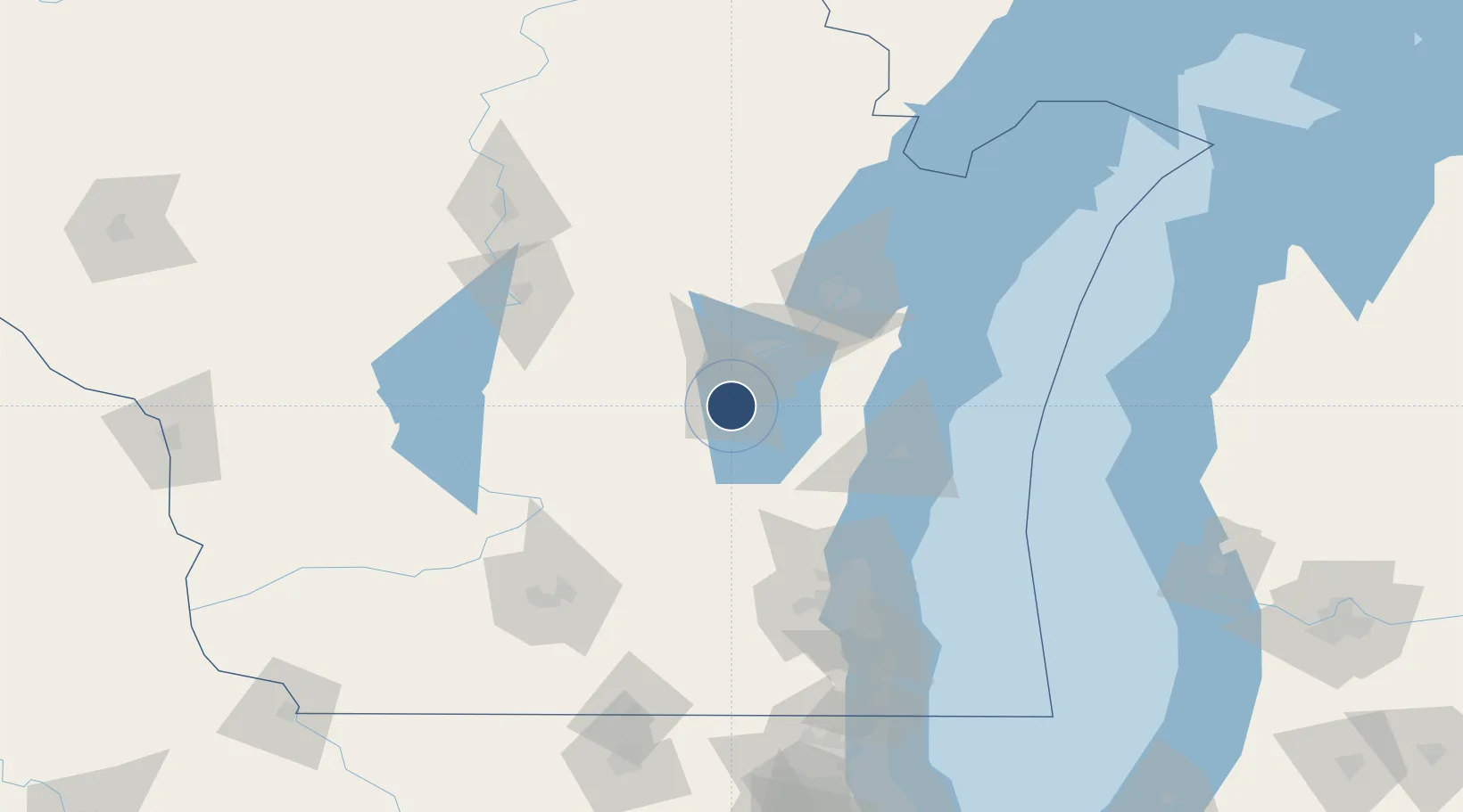
43.9844°, -88.5570°
8,002 ft
Longest runway
4
Runways
808 ft
Elevation
Runway & Layout

Radio Frequencies
ATIS
125.9 MHz
TWR
118.5 MHz
OSHKOSH TWR
GND
121.9 MHz
CTAF
118.5 MHz
CNTR
127 MHz
CHICAGO CNTR
RDO
122.25 MHz
GREEN BAY RDO
UNIC
122.95 MHz
UNICOM
Navaids
OS NDB Pober 395 kHz
OSH VORTAC Oshkosh 111.80 MHz
Runways · 4
| Runway | Dimensions | Surface | True heading | Lit |
|---|---|---|---|---|
| 18/36 | 8,002 × 150ft | Concrete | 180° | ✓ |
| 09/27 | 6,179 × 150ft | Asphalt | 091° | ✓ |
| 05/23 | 3,424 × 75ft | Asphalt | 045° | — |
| 13/31 | 3,061 × 75ft | Asphalt | 129° | — |
Airport Specifications
IATA code
OSH
ICAO code
KOSH
Airport class
Medium airport
Scheduled service
No
Runway surface
Concrete
Served city
Oshkosh
Location
Nearby Logistics Neighbours
Airports
Cities
- 1Winneconne20 km
- 2Dale33 km
- 3Grand Chute35 km
- 4Saint Cloud36 km
- 5Brownsville41 km
Ports
- 1Kaukauna41 km
- 2Green Bay73 km
- 3Sheboygan74 km
- 4Manitowoc74 km
- 5Two Rivers81 km
Trade Zones
- 1FTZ No. 167 Brown County57 km
- 2FTZ No. 041 Milwaukee109 km
- 3FTZ No. 266 Dane County138 km
- 4FTZ No. 019 Omaha164 km
- 5FTZ No. 292 Lake County193 km
DatabookThe Record of Consolidated Knowledge
United States beyond logistics?