Medium airport · United States

Wausau Downtown AirportKAUW
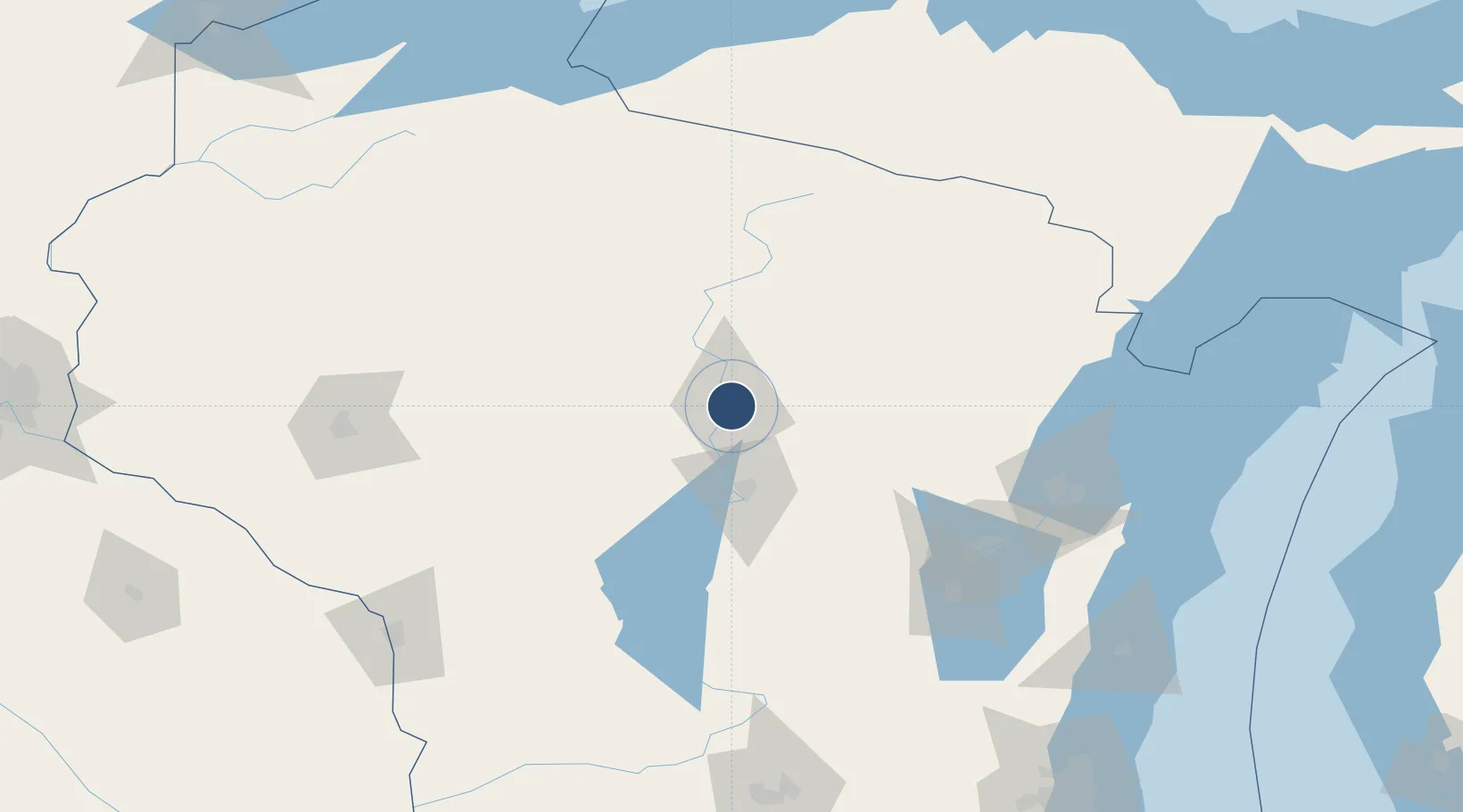
44.9262°, -89.6266°
8,000 ft
Longest runway
3
Runways
1,201 ft
Elevation

Runway & Layout

Wausau Downtown Airport runway & taxiway layout
Runway & taxiway layout — OpenStreetMap (ODbL) / OurAirports

Radio Frequencies

ASOS
125.925 MHz
CNTR
124.4 MHz
MINNEAPOLIS CNTR
RDO
122.4 MHz
GREEN BAY RDO
UNIC
122.7 MHz
CTAF/UNICOM
OurAirports

Runways · 3

RunwayDimensions SurfaceTrue headingLit
12W/30W 8,000 × 300ft Water
12/30 4,950 × 100ft Asphalt 125°
04/22 3,085 × 100ft Asphalt 043°
OurAirports

Airport Specifications

IATA code
AUW
OurAirports
ICAO code
KAUW
OurAirports
Airport class
Medium airport
OurAirports
Scheduled service
No
OurAirports
Runway surface
Water
OurAirports
Served city
Wausau
OurAirports

Location

Location of KAUW
Natural Earth 10m (public domain) · Wisconsin · KAUW · 44.93, -89.63GoogleOSMYandex

Nearby Logistics Neighbours

Airports
  1. 1Central Wisconsin Airport17 km
  2. 2Rhinelander Oneida County Airport79 km
  3. 3Appleton International Airport115 km
  4. 4Volk Field121 km
  5. 5Austin Straubel International Airport128 km
Nearest neighbours — logibook spatial index (haversine) over the source coordinates
Cities
  1. 1Mosinee17 km
  2. 2Ringle17 km
  3. 3Brokaw32 km
  4. 4Birnamwood34 km
  5. 5Stratford37 km
Nearest neighbours — logibook spatial index (haversine) over the source coordinates
Ports
  1. 1Kaukauna129 km
  2. 2Green Bay135 km
  3. 3Oconto142 km
  4. 4Marinette160 km
  5. 5Menominee161 km
Nearest neighbours — logibook spatial index (haversine) over the source coordinates
Trade Zones
  1. 1FTZ No. 167 Brown County118 km
  2. 2FTZ No. 266 Dane County207 km
  3. 3FTZ No. 041 Milwaukee241 km
  4. 4FTZ No. 119 Minneapolis-St. Paul284 km
  5. 5FTZ No. 051 Duluth288 km
Nearest neighbours — logibook spatial index (haversine) over the source coordinates
DatabookThe Record of Consolidated Knowledge
United States beyond logistics?
Browse databook

All Sources

AirportsOurAirports
Public domain
Portsthe NGA World Port Index
Public domain (US gov)
LocationsUN/LOCODE
UN/LOCODE — free
Trade Zonesthe World Bank SEZ database
CC BY 4.0
Trade ZonesOpen Zone Map
CC BY
InfrastructureOpenStreetMap
ODbL 1.0
← United States airports