UN/LOCODE hub · United States
USDRW
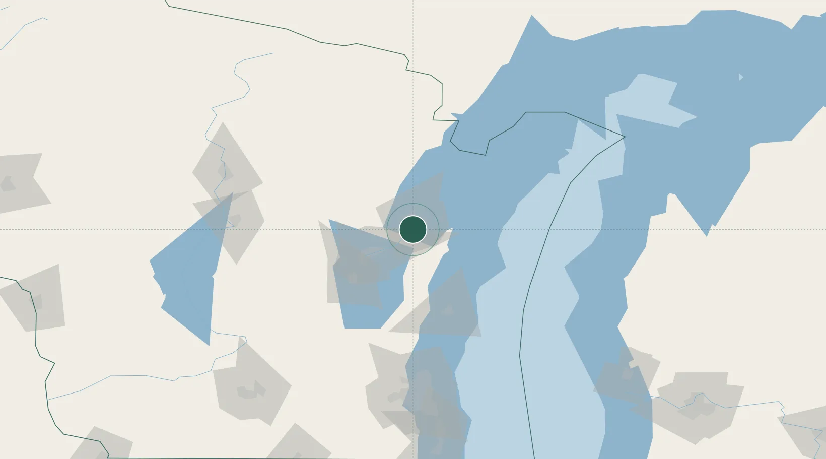
De Pere
44.4500°, -88.0500°
24,724
Population
3
Transport functions
Transport Functions
Port
Rail
Road
Hub Profile
Place type
Populated place
Region
Wisconsin
Population
24,724
Time zone
America/Chicago
Elevation
183 m
Location
Nearby Logistics Neighbours
Cities
- 1Ashwaubenon3 km
- 2Green Bay8 km
- 3Wrightstown18 km
- 4New Franken21 km
- 5Holland26 km
Ports
- 1Green Bay8 km
- 2Kaukauna25 km
- 3Kewaunee44 km
- 4Two Rivers51 km
- 5Manitowoc51 km
Airports
Trade Zones
- 1FTZ No. 167 Brown County19 km
- 2FTZ No. 041 Milwaukee155 km
- 3FTZ No. 019 Omaha165 km
- 4FTZ No. 189 Kent Ottawa/Muskegon Counties195 km
- 5FTZ No. 266 Dane County203 km
DatabookThe Record of Consolidated Knowledge
United States beyond logistics?