Medium airport · United States
Appleton International AirportKATW
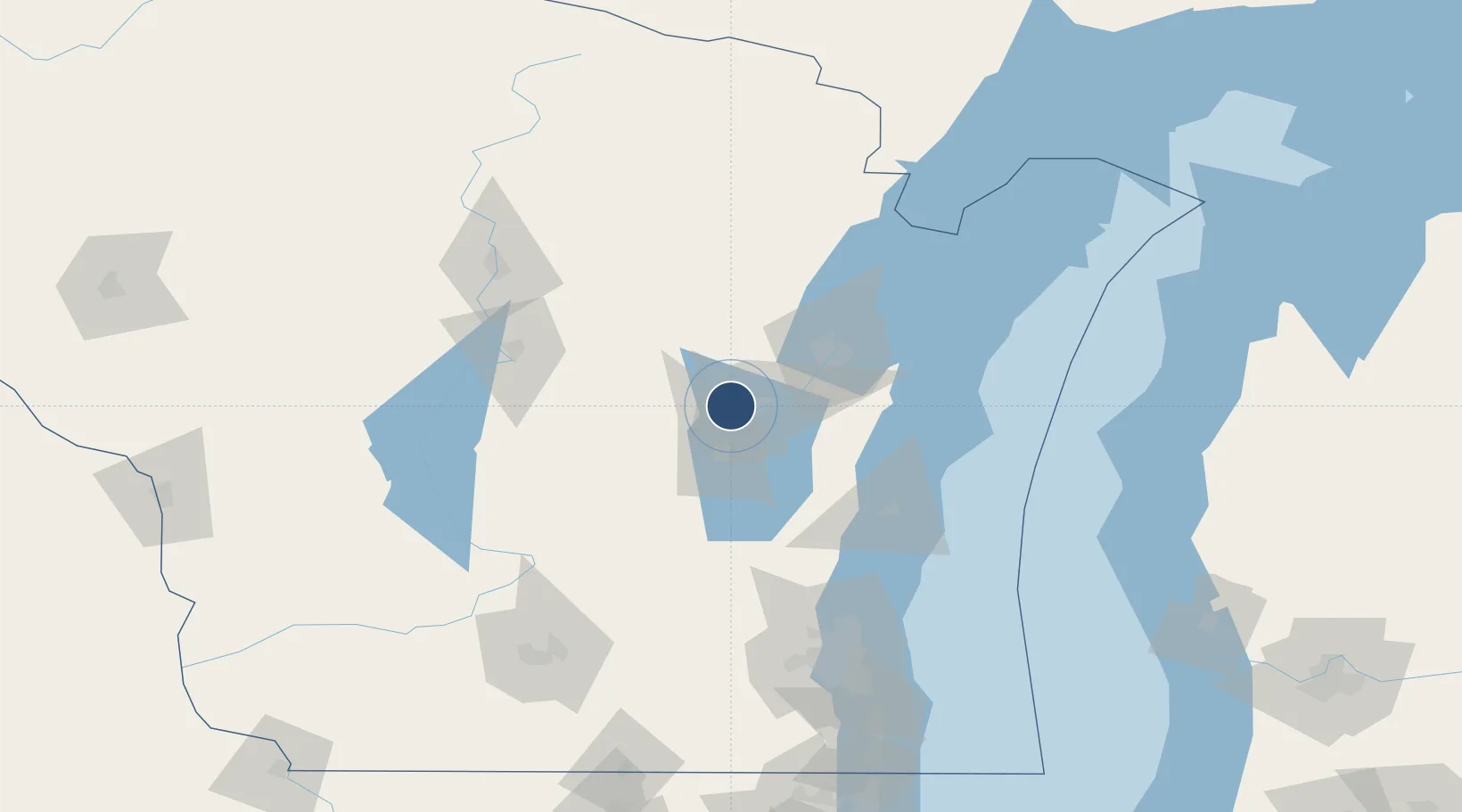
44.2585°, -88.5190°
8,003 ft
Longest runway
2
Runways
918 ft
Elevation
Runway & Layout

Radio Frequencies
ATIS
127.15 MHz
TWR
119.6 MHz
APPLETON TWR
GND
121.7 MHz
APPLETON GND
CTAF
119.6 MHz
A/D
126.3 MHz
GREEN BAY APP/DEP
UNIC
122.95 MHz
UNICOM
Runways · 2
| Runway | Dimensions | Surface | True heading | Lit |
|---|---|---|---|---|
| 03/21 | 8,003 × 150ft | Concrete | 026° | ✓ |
| 12/30 | 6,502 × 150ft | Concrete | 116° | ✓ |
Airport Specifications
IATA code
ATW
ICAO code
KATW
Airport class
Medium airport
Scheduled service
Yes
Runway surface
Concrete
Served city
Appleton
Location
Nearby Logistics Neighbours
Airports
Cities
- 1Grand Chute7 km
- 2Dale12 km
- 3Winneconne23 km
- 4Holland28 km
- 5Wrightstown29 km
Ports
- 1Kaukauna20 km
- 2Green Bay49 km
- 3Manitowoc72 km
- 4Two Rivers77 km
- 5Kewaunee84 km
Trade Zones
- 1FTZ No. 167 Brown County29 km
- 2FTZ No. 041 Milwaukee138 km
- 3FTZ No. 266 Dane County163 km
- 4FTZ No. 019 Omaha178 km
- 5FTZ No. 189 Kent Ottawa/Muskegon Counties212 km
DatabookThe Record of Consolidated Knowledge
United States beyond logistics?