Channel & Berth Profile
Pilotage, Tugs & Services
Pilotage compulsoryYES
Tug assistanceYES
Salvage tugsYES
Potable waterYES
Diesel bunkersYES
MedicalYES
Facilities & Capabilities
Container—
Ro-Ro—
Liquid bulk—
Dry bulk—
Oil terminal—
Break bulk—
Dry dockNO
RepairsNO
BunkeringYES
Rail linkYES
Dangerous cargo—
ISPS security—
Harbour Specifications
Harbour size
Medium
Harbour type
River (Natural)
Shelter
Fair
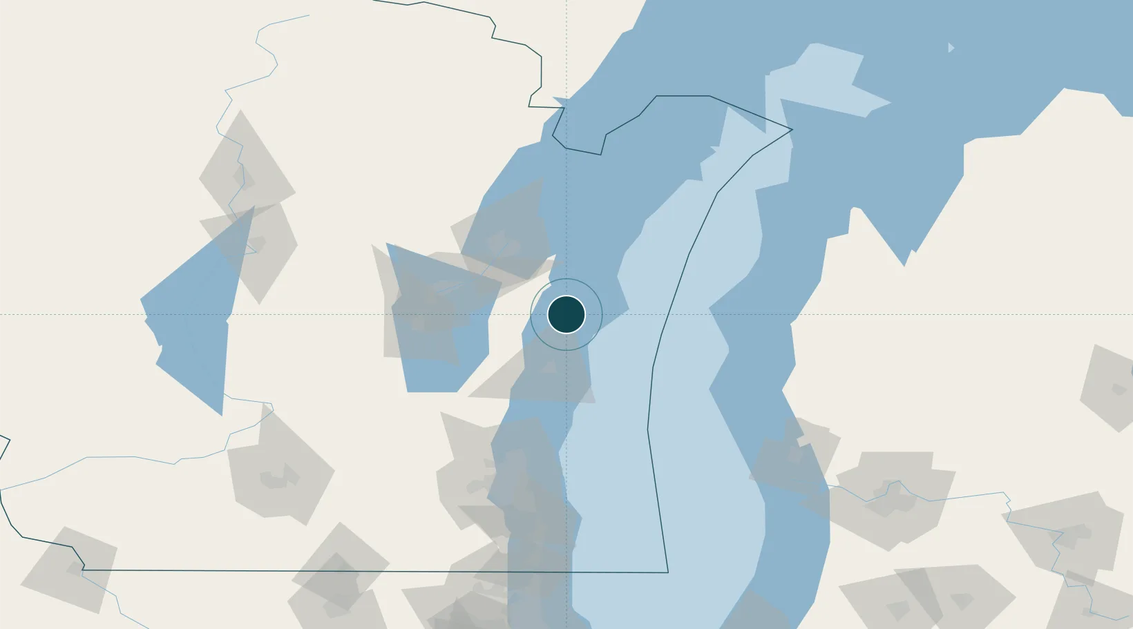
Water body
Lake Michigan; Great Lakes
Overhead limit
Yes
Pilotage
Yes
Location
Nearby Logistics Neighbours
Ports
- 1Two Rivers9 km
- 2Sheboygan38 km
- 3Kewaunee43 km
- 4Kaukauna54 km
- 5Green Bay56 km
Cities
- 1Clover8 km
- 2Branch9 km
- 3Valders19 km
- 4Reedsville25 km
- 5Kiel36 km
Airports
Trade Zones
- 1FTZ No. 167 Brown County65 km
- 2FTZ No. 019 Omaha114 km
- 3FTZ No. 041 Milwaukee121 km
- 4FTZ No. 189 Kent Ottawa/Muskegon Counties145 km
- 5FTZ No. 292 Lake County198 km
DatabookThe Record of Consolidated Knowledge
United States beyond logistics?