Seaplane base · United States
Angoon Seaplane BasePAGN
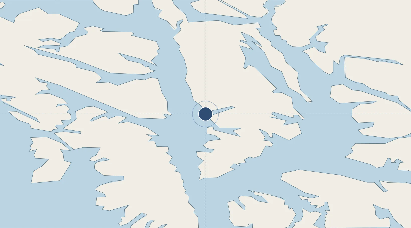
57.4971°, -134.5672°
10,000 ft
Longest runway
1
Runways
Runway & Layout
Runways · 1
| Runway | Dimensions | Surface | True heading | Lit |
|---|---|---|---|---|
| NW/SE | 10,000 × 900ft | Water | — | — |
Airport Specifications
IATA code
AGN
ICAO code
PAGN
Airport class
Seaplane base
Scheduled service
Yes
Runway surface
Water
Served city
Angoon
Location
Nearby Logistics Neighbours
Airports
- 1Chatham Seaplane Base23 km
- 2Tenakee Seaplane Base50 km
- 3Sitka Seaplane Base68 km
- 4Sitka Rocky Gutierrez Airport69 km
- 5Kake Seaplane Base69 km
Cities
- 1Tyee50 km
- 2Juneau91 km
- 3Pleasant Island114 km
- 4Neets Bay263 km
- 5Ward Cove292 km
Ports
- 1Chatham22 km
- 2Tenakee Springs49 km
- 3Sitka68 km
- 4Hawk Inlet70 km
- 5Kake70 km
Trade Zones
- 1FTZ No. 108 Valdez780 km
- 2PrInce George Logistics Park839 km
- 3FTZ No. 195 Fairbanks1075 km
- 4FTZ Vancouver Island1188 km
- 5FTZ No. 128 Whatcom County1251 km
DatabookThe Record of Consolidated Knowledge
United States beyond logistics?