UN/LOCODE hub · United States
USPI7

Pleasant Island

58.3500°, -135.6333°
1
Transport functions

Transport Functions

Port
UN/LOCODE

Hub Profile

Place type
Populated place
GeoNames
Region
Maine
GeoNames
Time zone
America/New_York
GeoNames
Elevation
449 m
GeoNames

Location

Location of USPI7
Natural Earth 10m (public domain) · Maine · USPI7 · 58.35, -135.63GoogleOSMYandex

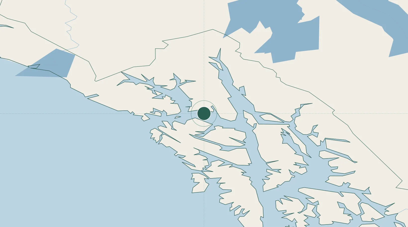
Nearby Logistics Neighbours

Cities
  1. 1Juneau70 km
  2. 2Tyee158 km
  3. 3Neets Bay375 km
  4. 4Ward Cove405 km
  5. 5Ketchikan411 km
Nearest neighbours — logibook spatial index (haversine) over the source coordinates
Ports
  1. 1Excursion Inlet13 km
  2. 2Hoonah28 km
  3. 3Funter44 km
  4. 4Elfin Cove45 km
  5. 5Pelican55 km
Nearest neighbours — logibook spatial index (haversine) over the source coordinates
Airports
  1. 1Gustavus Airport9 km
  2. 2Excursion Inlet Seaplane Base13 km
  3. 3Hoonah Airport31 km
  4. 4Point Retreat CG Light Station Helipad40 km
  5. 5Funter Bay Seaplane Base44 km
Nearest neighbours — logibook spatial index (haversine) over the source coordinates
Trade Zones
  1. 1FTZ No. 108 Valdez675 km
  2. 2FTZ No. 160 Anchorage858 km
  3. 3PrInce George Logistics Park936 km
  4. 4FTZ No. 195 Fairbanks961 km
  5. 5FTZ Vancouver Island1300 km
Nearest neighbours — logibook spatial index (haversine) over the source coordinates
DatabookThe Record of Consolidated Knowledge
United States beyond logistics?
Browse databook

All Sources

LocationsUN/LOCODE
UN/LOCODE — free
Portsthe NGA World Port Index
Public domain (US gov)
AirportsOurAirports
Public domain
Trade Zonesthe World Bank SEZ database
CC BY 4.0
Trade ZonesOpen Zone Map
CC BY
← United States locations