Foreign Trade Zone · United States

FTZ No. 195 Fairbanks Inactive

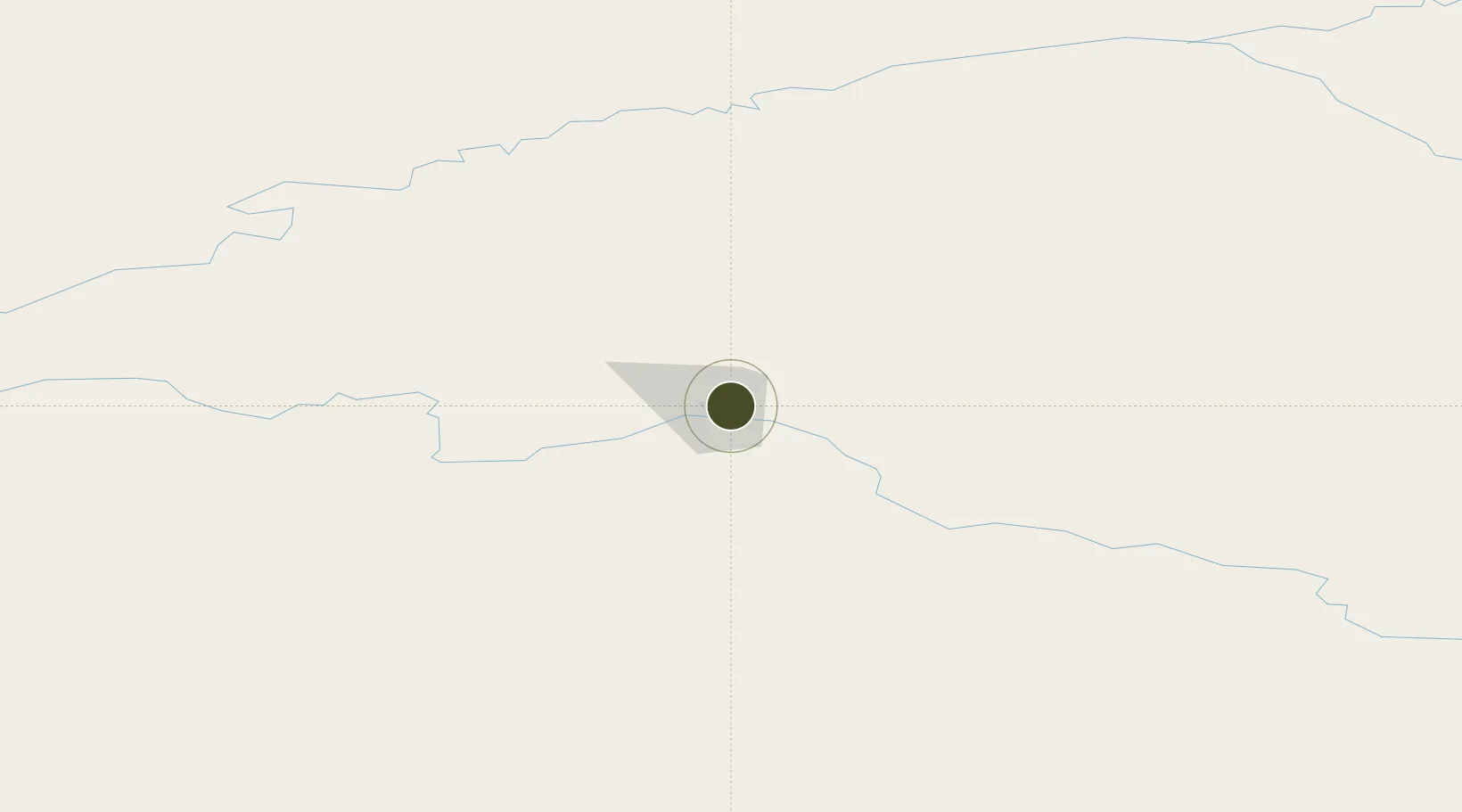
64.8452°, -147.7153°
418.2 km
Nearest port
4.9 km
Nearest airport

Gateway access

Nearest neighbours — logibook spatial index (haversine) over the source coordinates

Zone profile

Zone type
Foreign Trade Zone
Open Zone Map
Region
Alaska
Open Zone Map
Status
Inactive
Open Zone Map
Management
Public
Open Zone Map
Operator
Fairbanks Economic Development Corporation
Open Zone Map
Legal framework
Foreign-Trade Zones Act
Open Zone Map

Location

Location of ozm-4849
Natural Earth 10m (public domain) · Alaska · ozm-4849 · 64.85, -147.72GoogleOSMYandex

Nearby Logistics Neighbours

Ports
  1. 1Anchorage418 km
  2. 2Valdez421 km
  3. 3Whittier455 km
  4. 4Orca485 km
  5. 5Cordova488 km
Nearest neighbours — logibook spatial index (haversine) over the source coordinates
Airports
  1. 1Ladd Army Airfield5 km
  2. 2Fairbanks International Airport7 km
  3. 3Eielson Air Force Base35 km
  4. 4Nenana Municipal Airport73 km
  5. 5Minto Al Wright Airport85 km
Nearest neighbours — logibook spatial index (haversine) over the source coordinates
Cities
  1. 1Houston372 km
  2. 2Susitna394 km
  3. 3Port MacKenzie413 km
  4. 4Elmendorf Air Force Base413 km
  5. 5Anchorage416 km
Nearest neighbours — logibook spatial index (haversine) over the source coordinates
Trade Zones
  1. 1FTZ No. 160 Anchorage416 km
  2. 2FTZ No. 108 Valdez418 km
  3. 3FTZ No. 232 Kodiak879 km
  4. 4PrInce George Logistics Park1843 km
  5. 5FTZ Vancouver Island2256 km
Nearest neighbours — logibook spatial index (haversine) over the source coordinates
DatabookThe Record of Consolidated Knowledge
United States beyond logistics?
Browse databook

All Sources

Trade ZonesOpen Zone Map
CC BY
Portsthe NGA World Port Index
Public domain (US gov)
AirportsOurAirports
Public domain
LocationsUN/LOCODE
UN/LOCODE — free
← United States trade zones