Channel & Berth Profile
Pilotage, Tugs & Services
Pilotage compulsoryYES
Pilotage availableYES
Tug assistanceYES
Shore powerYES
Potable waterYES
Diesel bunkersYES
MedicalYES
Garbage disposalYES
Facilities & Capabilities
Container—
Ro-Ro—
Liquid bulk—
Dry bulk—
Oil terminal—
Break bulk—
Dry dock—
RepairsNO
BunkeringYES
Rail link—
Dangerous cargo—
ISPS security—
Harbour Specifications
Harbour size
Small
Harbour type
Coastal (Natural)
Shelter
Good
Water body
Alaska-Canada coastal waters; North Pacific Ocean
Tidal range
2.4 m
Pilotage
Yes
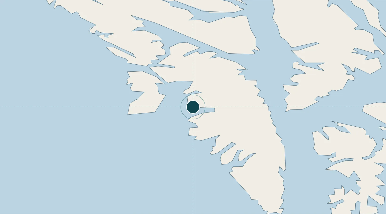
Location
Nearby Logistics Neighbours
Ports
- 1Chatham57 km
- 2Washington Bay69 km
- 3Tenakee Springs82 km
- 4Big Port Walter83 km
- 5Kake85 km
Cities
- 1Tyee47 km
- 2Pleasant Island146 km
- 3Juneau150 km
- 4Neets Bay269 km
- 5Ward Cove289 km
Airports
- 1Sitka Seaplane Base1 km
- 2Sitka Rocky Gutierrez Airport2 km
- 3Chatham Seaplane Base57 km
- 4Angoon Seaplane Base68 km
- 5Tenakee Seaplane Base81 km
Trade Zones
- 1FTZ No. 108 Valdez775 km
- 2PrInce George Logistics Park864 km
- 3FTZ No. 195 Fairbanks1091 km
- 4FTZ Vancouver Island1187 km
- 5FTZ No. 128 Whatcom County1250 km
DatabookThe Record of Consolidated Knowledge
United States beyond logistics?