UN/LOCODE hub · United States
USSPQ
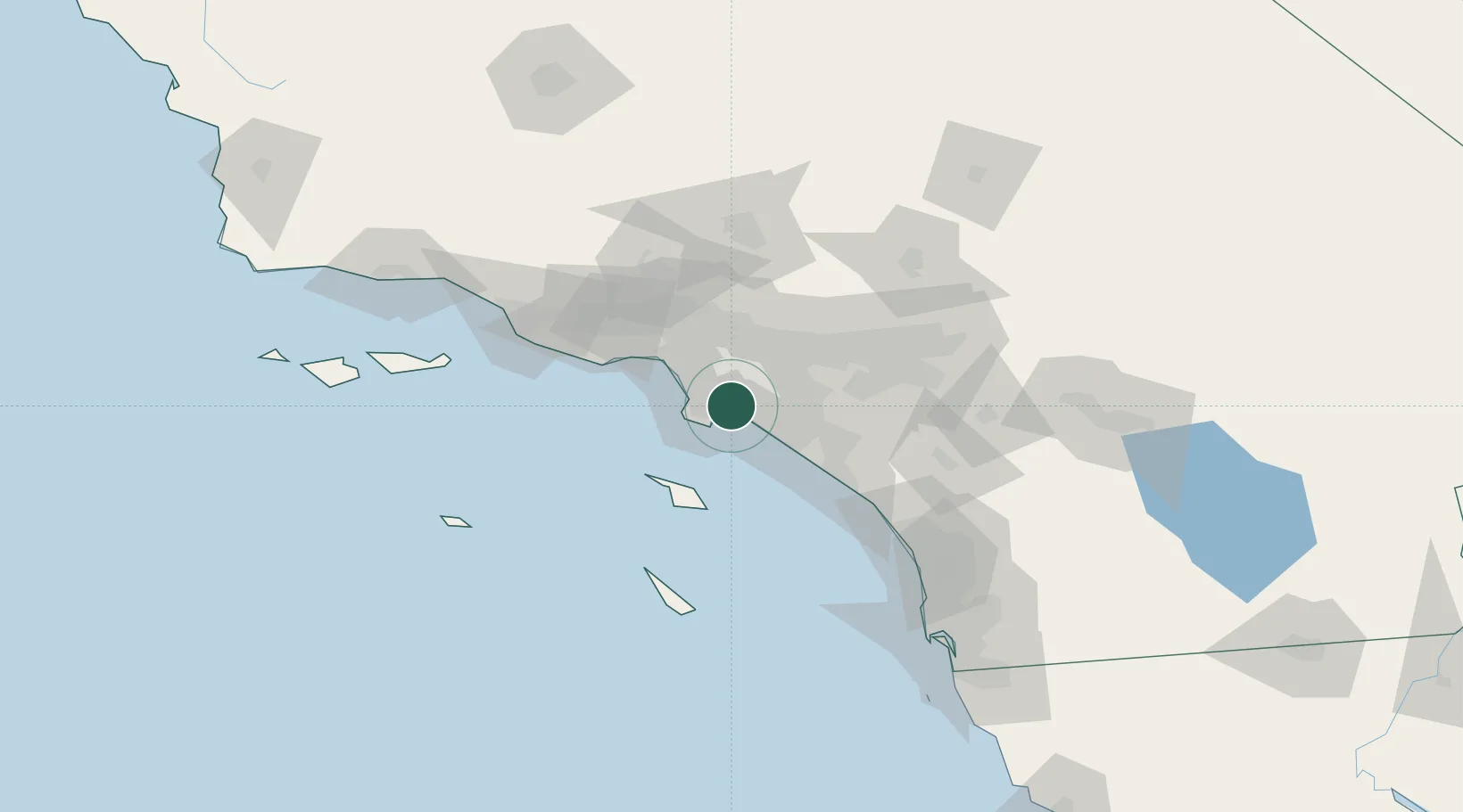
San Pedro
33.8037°, -118.1885°
83,556
Population
2
Transport functions
Transport Functions
Port
Airport
Hub Profile
Place type
Urban district
Region
California
Population
83,556
Time zone
America/Los_Angeles
Elevation
34 m
Logistics facilities
12
Location
Nearby Logistics Neighbours
Cities
- 1Long Beach3 km
- 2Thenard5 km
- 3North Long Beach5 km
- 4Wilmington6 km
- 5Los Angeles7 km
Ports
- 1Long Beach4 km
- 2Los Angeles8 km
- 3El Segundo26 km
- 4Newport Beach34 km
- 5Avalon52 km
Airports
Trade Zones
- 1FTZ No. 050 Long Beach5 km
- 2FTZ No. 202 Los Angeles11 km
- 3FTZ No. 244 Riverside County84 km
- 4FTZ No. 191 Palmdale86 km
- 5FTZ No. 205 Port Hueneme101 km
DatabookThe Record of Consolidated Knowledge
United States beyond logistics?