UN/LOCODE hub · United States
USOJL

Thenard

33.7833°, -118.2333°
2
Transport functions

Transport Functions

Port
Road
UN/LOCODE

Hub Profile

Place type
Urban district
GeoNames
Region
California
GeoNames
Time zone
America/Los_Angeles
GeoNames
Elevation
7 m
GeoNames

Location

Location of USOJL
Natural Earth 10m (public domain) · California · USOJL · 33.78, -118.23GoogleOSMYandex

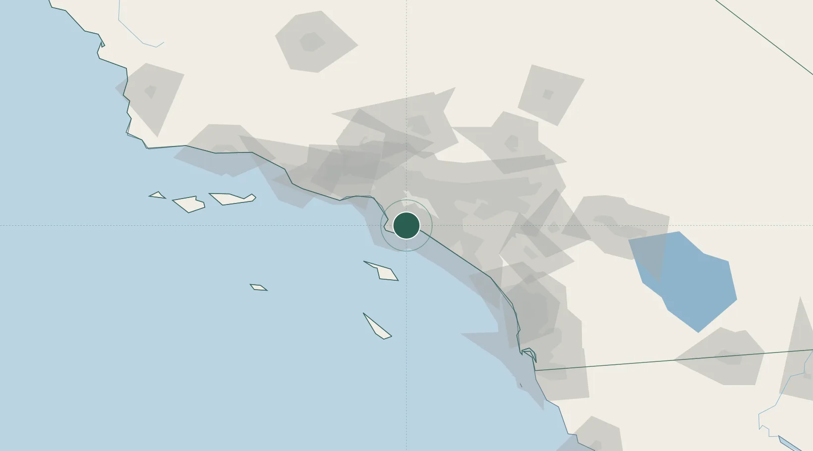
Nearby Logistics Neighbours

Cities
  1. 1Wilmington1 km
  2. 2Long Beach4 km
  3. 3San Pedro5 km
  4. 4North Long Beach9 km
  5. 5Los Angeles10 km
Nearest neighbours — logibook spatial index (haversine) over the source coordinates
Ports
  1. 1Los Angeles4 km
  2. 2Long Beach5 km
  3. 3El Segundo24 km
  4. 4Newport Beach36 km
  5. 5Avalon49 km
Nearest neighbours — logibook spatial index (haversine) over the source coordinates
Airports
  1. 1Long Beach International Airport9 km
  2. 2Los Alamitos Army Air Field17 km
  3. 3Jack Northrop Field Hawthorne Municipal Airport18 km
  4. 4Los Angeles International Airport24 km
  5. 5Santa Monica Municipal Airport33 km
Nearest neighbours — logibook spatial index (haversine) over the source coordinates
Trade Zones
  1. 1FTZ No. 202 Los Angeles7 km
  2. 2FTZ No. 050 Long Beach10 km
  3. 3FTZ No. 244 Riverside County88 km
  4. 4FTZ No. 191 Palmdale89 km
  5. 5FTZ No. 205 Port Hueneme98 km
Nearest neighbours — logibook spatial index (haversine) over the source coordinates
DatabookThe Record of Consolidated Knowledge
United States beyond logistics?
Browse databook

All Sources

LocationsUN/LOCODE
UN/LOCODE — free
Portsthe NGA World Port Index
Public domain (US gov)
AirportsOurAirports
Public domain
Trade Zonesthe World Bank SEZ database
CC BY 4.0
Trade ZonesOpen Zone Map
CC BY
← United States locations