UN/LOCODE hub · United States
USJNP
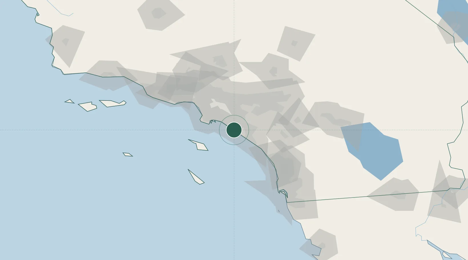
Newport Beach
33.6167°, -117.9167°
87,127
Population
2
Transport functions
Transport Functions
Port
Road
Hub Profile
Place type
Populated place
Region
California
Population
87,127
Time zone
America/Los_Angeles
Elevation
3 m
Location
Nearby Logistics Neighbours
Cities
- 1Corona del Mar5 km
- 2Los Alamitos25 km
- 3Esperanza32 km
- 4San Pedro33 km
- 5Thenard35 km
Ports
- 1Long Beach30 km
- 2Los Angeles34 km
- 3Avalon48 km
- 4El Segundo58 km
- 5San Diego121 km
Airports
Trade Zones
- 1FTZ No. 050 Long Beach30 km
- 2FTZ No. 202 Los Angeles37 km
- 3FTZ No. 244 Riverside County67 km
- 4FTZ No. 191 Palmdale109 km
- 5FTZ No. 243 Victorville119 km
DatabookThe Record of Consolidated Knowledge
United States beyond logistics?