Medium airport · United States

Jack Northrop Field Hawthorne Municipal AirportKHHR

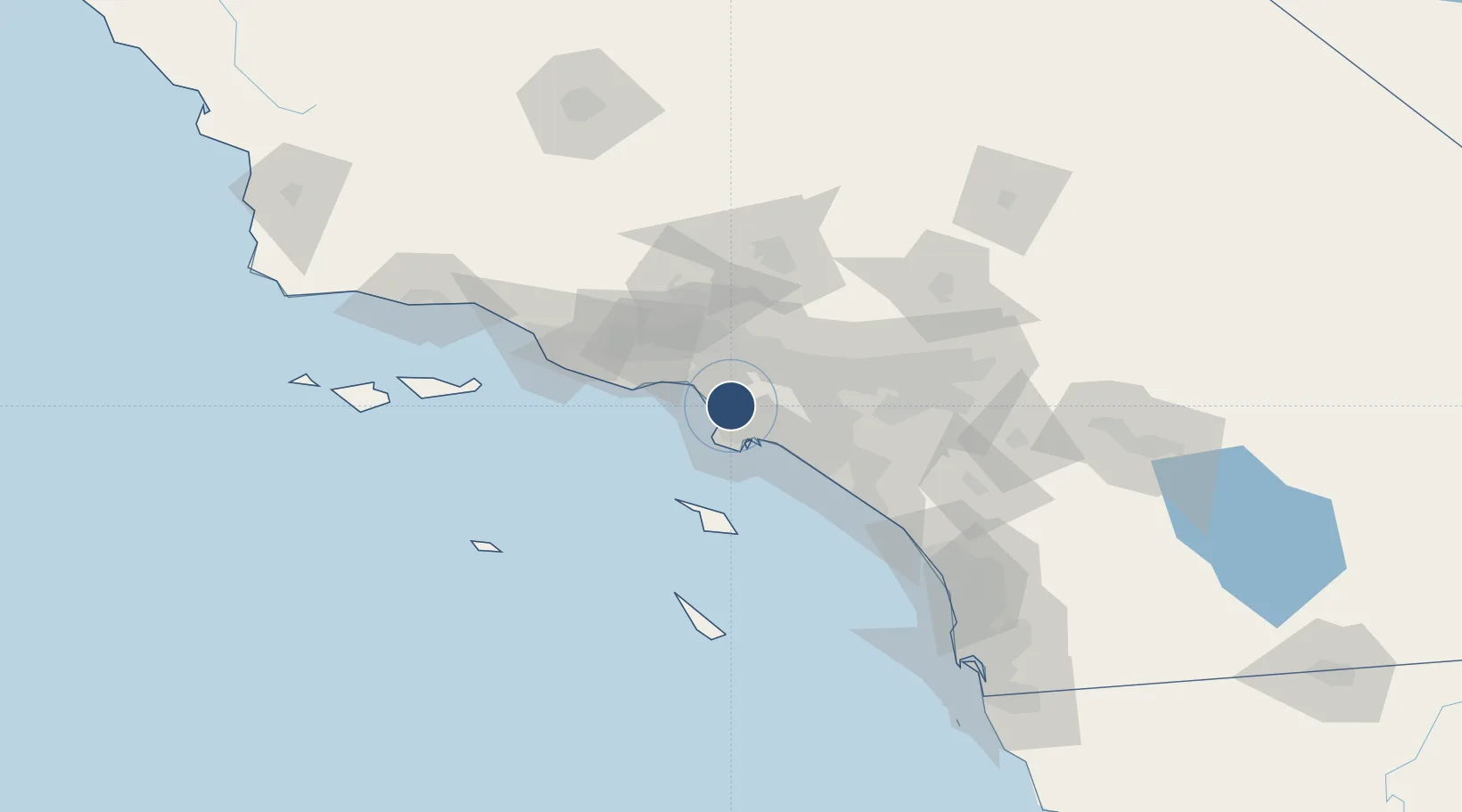
33.9228°, -118.3350°
4,884 ft
Longest runway
1
Runways
66 ft
Elevation

Runway & Layout

Jack Northrop Field Hawthorne Municipal Airport runway & taxiway layout
Runway & taxiway layout — OpenStreetMap (ODbL) / OurAirports

Radio Frequencies

ATIS
118.4 MHz
TWR
121.1 MHz
GND
125.1 MHz
APP
124.3 MHz
SOCAL APP
DEP
124.3 MHz
SOCAL DEP
CTAF
121.1 MHz
RDO
122.2 MHz
HAWTHORNE RDO
OurAirports

Runways · 1

RunwayDimensions SurfaceTrue headingLit
07/25 4,884 × 100ft Concrete 087°
OurAirports

Airport Specifications

IATA code
HHR
OurAirports
ICAO code
KHHR
OurAirports
Airport class
Medium airport
OurAirports
Scheduled service
Yes
OurAirports
Runway surface
Concrete
OurAirports
Served city
Hawthorne
OurAirports

Location

Location of KHHR
Natural Earth 10m (public domain) · California · KHHR · 33.92, -118.33GoogleOSMYandex

Nearby Logistics Neighbours

Airports
  1. 1Los Angeles International Airport7 km
  2. 2Santa Monica Municipal Airport15 km
  3. 3Long Beach International Airport21 km
  4. 4Los Alamitos Army Air Field30 km
  5. 5Hollywood Burbank Airport31 km
Nearest neighbours — logibook spatial index (haversine) over the source coordinates
Cities
  1. 1Playa Vista9 km
  2. 2South Gate13 km
  3. 3Los Angeles15 km
  4. 4Westwood16 km
  5. 5North Long Beach16 km
Nearest neighbours — logibook spatial index (haversine) over the source coordinates
Ports
  1. 1El Segundo9 km
  2. 2Los Angeles21 km
  3. 3Long Beach22 km
  4. 4Newport Beach53 km
  5. 5Avalon64 km
Nearest neighbours — logibook spatial index (haversine) over the source coordinates
Trade Zones
  1. 1FTZ No. 202 Los Angeles21 km
  2. 2FTZ No. 050 Long Beach22 km
  3. 3FTZ No. 191 Palmdale76 km
  4. 4FTZ No. 205 Port Hueneme84 km
  5. 5FTZ No. 244 Riverside County97 km
Nearest neighbours — logibook spatial index (haversine) over the source coordinates
DatabookThe Record of Consolidated Knowledge
United States beyond logistics?
Browse databook

All Sources

AirportsOurAirports
Public domain
Portsthe NGA World Port Index
Public domain (US gov)
LocationsUN/LOCODE
UN/LOCODE — free
Trade Zonesthe World Bank SEZ database
CC BY 4.0
Trade ZonesOpen Zone Map
CC BY
InfrastructureOpenStreetMap
ODbL 1.0
← United States airports