Large airport · United States
Long Beach International AirportKLGB
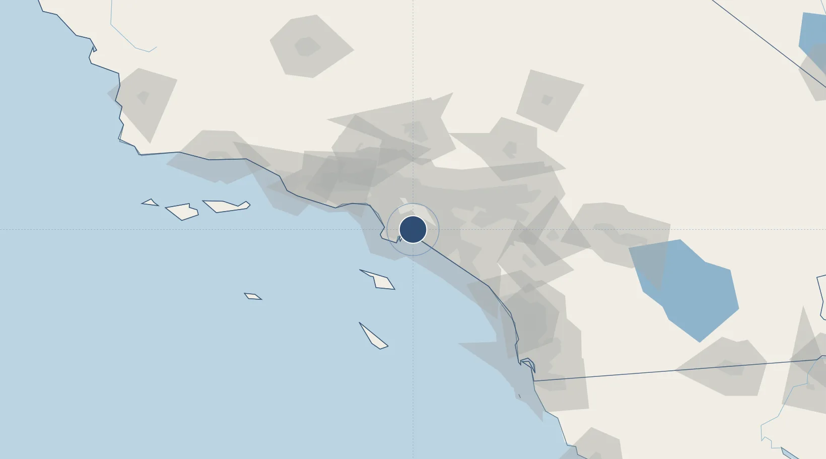
33.8165°, -118.1499°
10,000 ft
Longest runway
3
Runways
60 ft
Elevation
Runway & Layout

Radio Frequencies
ATIS
127.75 MHz
TWR
119.4 MHz
GND
133 MHz
CLD
118.15 MHz
CLNC DEL
APP
124.65 MHz
SOCAL APP
DEP
127.2 MHz
SOCAL DEP
CTAF
119.4 MHz
UNIC
122.95 MHz
UNICOM
Runways · 3
| Runway | Dimensions | Surface | True heading | Lit |
|---|---|---|---|---|
| 12/30 | 10,000 × 200ft | Asphalt | 135° | ✓ |
| 08L/26R | 6,192 × 150ft | Asphalt | 090° | ✓ |
| 08R/26L | 3,918 × 100ft | Asphalt | 090° | ✓ |
Airport Specifications
IATA code
LGB
ICAO code
KLGB
Airport class
Large airport
Scheduled service
Yes
Runway surface
Asphalt
Served city
Long Beach
Location
Nearby Logistics Neighbours
Airports
Cities
- 1San Pedro4 km
- 2North Long Beach5 km
- 3Long Beach6 km
- 4Los Angeles7 km
- 5Los Alamitos8 km
Ports
- 1Long Beach6 km
- 2Los Angeles12 km
- 3El Segundo28 km
- 4Newport Beach32 km
- 5Avalon54 km
Trade Zones
- 1FTZ No. 050 Long Beach1 km
- 2FTZ No. 202 Los Angeles15 km
- 3FTZ No. 244 Riverside County80 km
- 4FTZ No. 191 Palmdale85 km
- 5FTZ No. 205 Port Hueneme104 km
DatabookThe Record of Consolidated Knowledge
United States beyond logistics?