Transport Functions
Road
Multimodal
Hub Profile
Place type
Urban district
Region
California
Time zone
America/Los_Angeles
Elevation
26 m
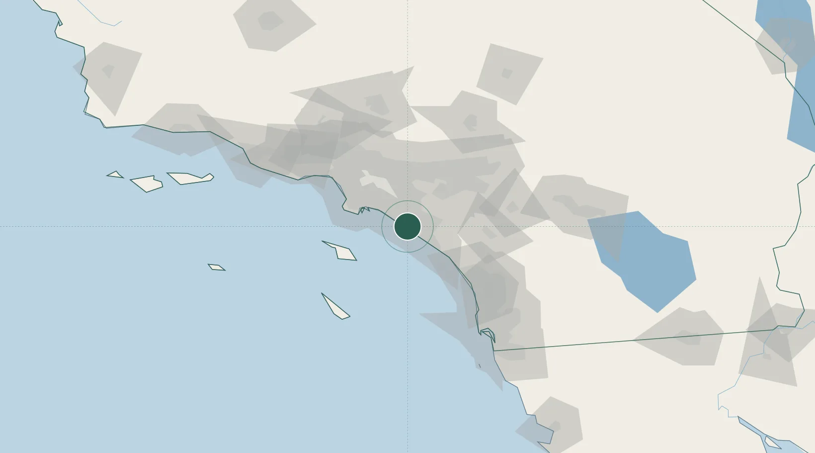
Location
Nearby Logistics Neighbours
Cities
- 1Newport Beach5 km
- 2Los Alamitos29 km
- 3Esperanza32 km
- 4San Pedro37 km
- 5Thenard40 km
Ports
- 1Newport Beach4 km
- 2Long Beach35 km
- 3Los Angeles39 km
- 4Avalon50 km
- 5El Segundo63 km
Airports
Trade Zones
- 1FTZ No. 050 Long Beach34 km
- 2FTZ No. 202 Los Angeles42 km
- 3FTZ No. 244 Riverside County64 km
- 4FTZ No. 191 Palmdale111 km
- 5FTZ No. 243 Victorville119 km
DatabookThe Record of Consolidated Knowledge
United States beyond logistics?