UN/LOCODE hub · United States
USLAT
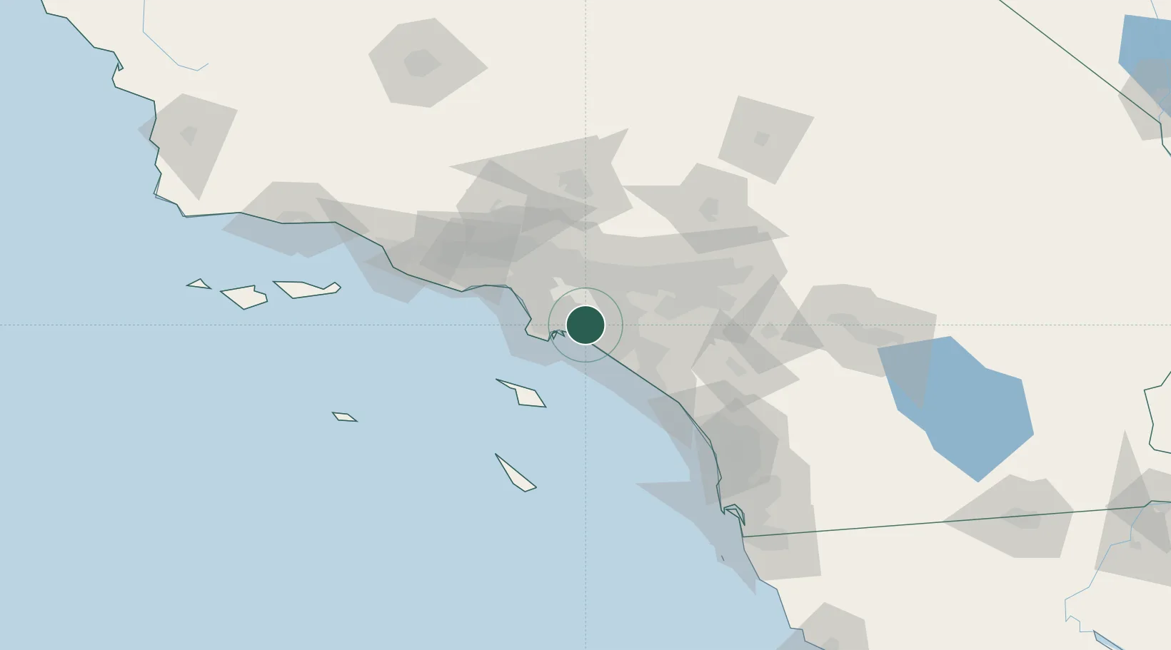
Los Alamitos
33.8000°, -118.0667°
11,449
Population
2
Transport functions
Transport Functions
Port
Road
Hub Profile
Place type
Populated place
Region
California
Population
11,449
Time zone
America/Los_Angeles
Elevation
7 m
Location
Nearby Logistics Neighbours
Cities
- 1San Pedro11 km
- 2North Long Beach12 km
- 3Los Angeles14 km
- 4Long Beach14 km
- 5Thenard16 km
Ports
- 1Long Beach11 km
- 2Los Angeles18 km
- 3Newport Beach26 km
- 4El Segundo36 km
- 5Avalon55 km
Airports
Trade Zones
- 1FTZ No. 050 Long Beach7 km
- 2FTZ No. 202 Los Angeles21 km
- 3FTZ No. 244 Riverside County73 km
- 4FTZ No. 191 Palmdale87 km
- 5FTZ No. 243 Victorville108 km
DatabookThe Record of Consolidated Knowledge
United States beyond logistics?