Transport Functions
Rail
Road
Hub Profile
Place type
Populated place
Region
California
Time zone
America/Los_Angeles
Elevation
110 m
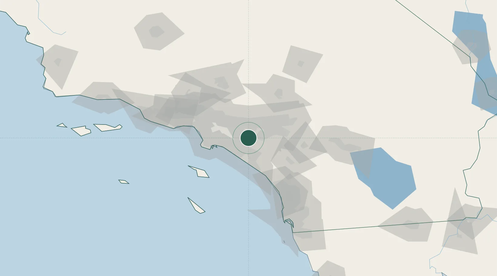
Location
Nearby Logistics Neighbours
Cities
- 1Eastvale21 km
- 2Kaiser30 km
- 3Los Alamitos30 km
- 4Corona del Mar32 km
- 5Alta Loma32 km
Ports
- 1Newport Beach31 km
- 2Long Beach42 km
- 3Los Angeles48 km
- 4El Segundo63 km
- 5Avalon78 km
Airports
Trade Zones
- 1FTZ No. 050 Long Beach36 km
- 2FTZ No. 244 Riverside County43 km
- 3FTZ No. 202 Los Angeles51 km
- 4FTZ No. 191 Palmdale86 km
- 5FTZ No. 243 Victorville87 km
DatabookThe Record of Consolidated Knowledge
United States beyond logistics?