Transport Functions
Port
Hub Profile
Place type
Populated place
Region
South Carolina
Time zone
America/New_York
Elevation
23 m
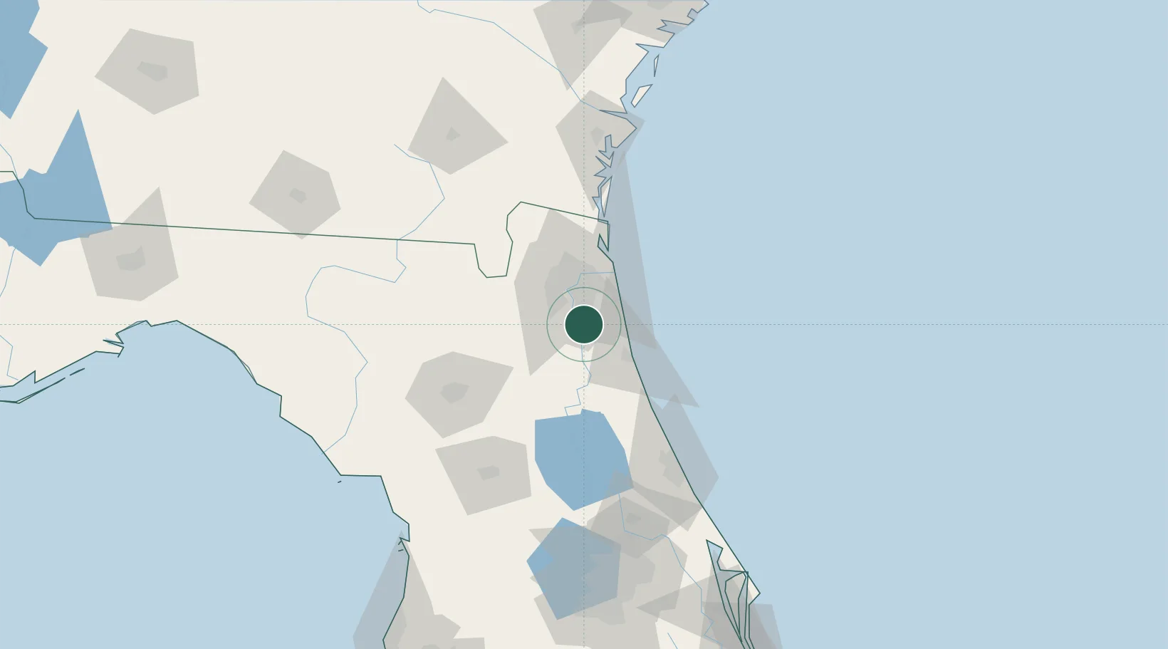
Location
Nearby Logistics Neighbours
Cities
- 1Fleming Island13 km
- 2Marietta32 km
- 3Jacksonville33 km
- 4Blount Island36 km
- 5Elkton36 km
Ports
- 1Jacksonville27 km
- 2St Augustine33 km
- 3Mayport38 km
- 4Fernandina Beach68 km
- 5Brunswick119 km
Airports
Trade Zones
- 1FTZ No. 064 Jacksonville47 km
- 2FTZ No. 198 Volusia County119 km
- 3FTZ No. 144 Brunswick119 km
- 4FTZ No. 250 Seminole County150 km
- 5FTZ No. 042 Orlando178 km
DatabookThe Record of Consolidated Knowledge
United States beyond logistics?