UN/LOCODE hub · United States
USJAX
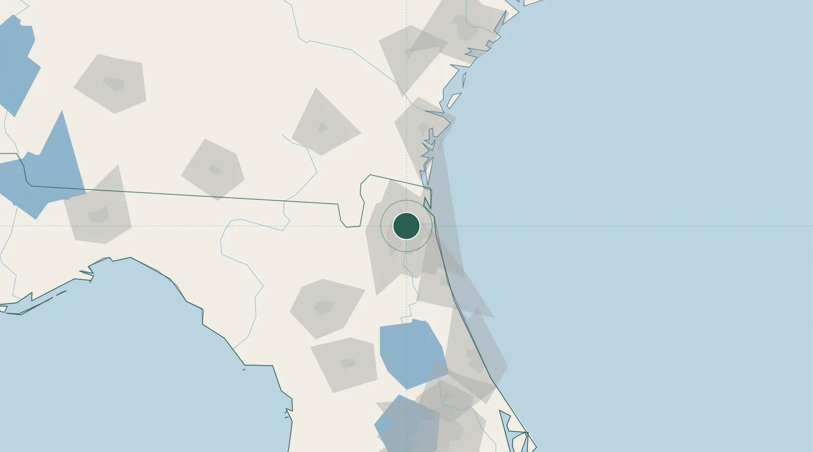
Jacksonville
30.3769°, -81.6484°
1,009,833
Population
2
Transport functions
4
Container terminals
Transport Functions
Port
Airport
Hub Profile
Place type
Provincial seat
Region
Florida
Population
1,009,833
Time zone
America/New_York
Elevation
5 m
Logistics facilities
89
Container terminals
4
Location
Nearby Logistics Neighbours
Cities
- 1Blount Island13 km
- 2Marietta15 km
- 3Callahan28 km
- 4Amelia City30 km
- 5Saint Johns33 km
Ports
- 1Mayport21 km
- 2Fernandina Beach38 km
- 3St Augustine62 km
- 4Brunswick87 km
- 5Darien112 km
Airports
Trade Zones
- 1FTZ No. 064 Jacksonville30 km
- 2FTZ No. 144 Brunswick88 km
- 3FTZ No. 198 Volusia County152 km
- 4FTZ No. 250 Seminole County184 km
- 5FTZ No. 104 Savannah198 km
DatabookThe Record of Consolidated Knowledge
United States beyond logistics?