UN/LOCODE hub · United States
USCH6
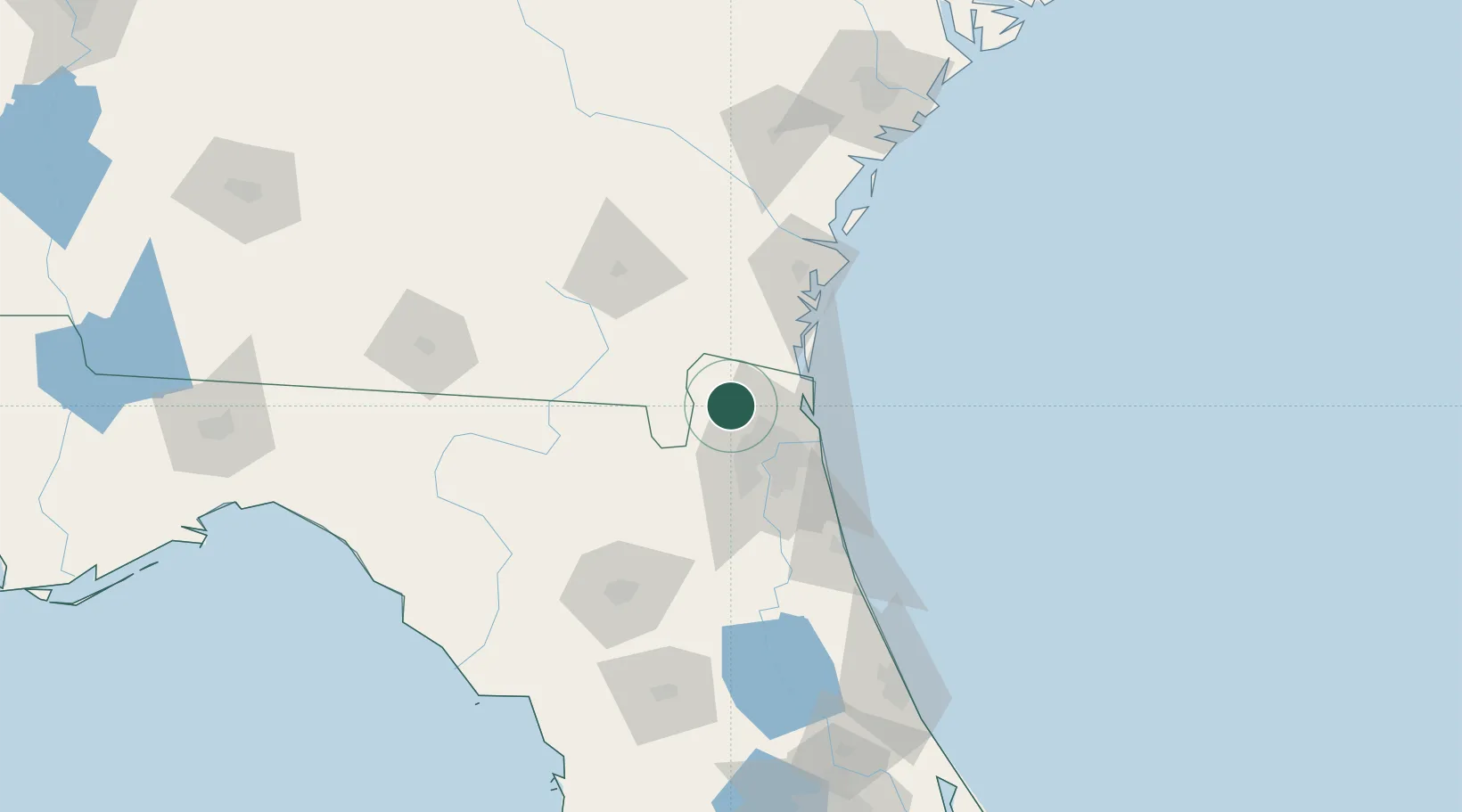
Callahan
30.5667°, -81.8333°
1,185
Population
2
Transport functions
Transport Functions
Rail
Road
Hub Profile
Place type
Populated place
Region
Florida
Population
1,185
Time zone
America/New_York
Elevation
6 m
Location
Nearby Logistics Neighbours
Cities
- 1Greenville26 km
- 2Jacksonville28 km
- 3Kingsland28 km
- 4Marietta28 km
- 5Mobile35 km
Ports
- 1Jacksonville33 km
- 2Fernandina Beach37 km
- 3Mayport43 km
- 4Brunswick72 km
- 5St Augustine89 km
Airports
Trade Zones
- 1FTZ No. 064 Jacksonville28 km
- 2FTZ No. 144 Brunswick73 km
- 3FTZ No. 198 Volusia County176 km
- 4FTZ No. 104 Savannah184 km
- 5FTZ No. 250 Seminole County208 km
DatabookThe Record of Consolidated Knowledge
United States beyond logistics?