Transport Functions
Rail
Road
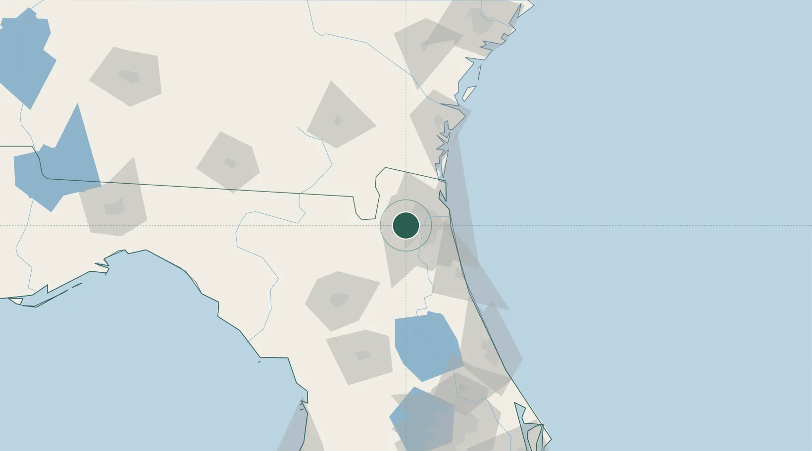
Hub Profile
Place type
Populated place
Region
Florida
Time zone
America/New_York
Elevation
19 m
Location
Nearby Logistics Neighbours
Cities
- 1Jacksonville15 km
- 2Fleming Island27 km
- 3Blount Island27 km
- 4Callahan28 km
- 5Saint Johns32 km
Ports
- 1Jacksonville13 km
- 2Mayport35 km
- 3Fernandina Beach51 km
- 4St Augustine65 km
- 5Brunswick97 km
Airports
Trade Zones
- 1FTZ No. 064 Jacksonville18 km
- 2FTZ No. 144 Brunswick97 km
- 3FTZ No. 198 Volusia County147 km
- 4FTZ No. 250 Seminole County180 km
- 5FTZ No. 042 Orlando206 km
DatabookThe Record of Consolidated Knowledge
United States beyond logistics?