UN/LOCODE hub · United States
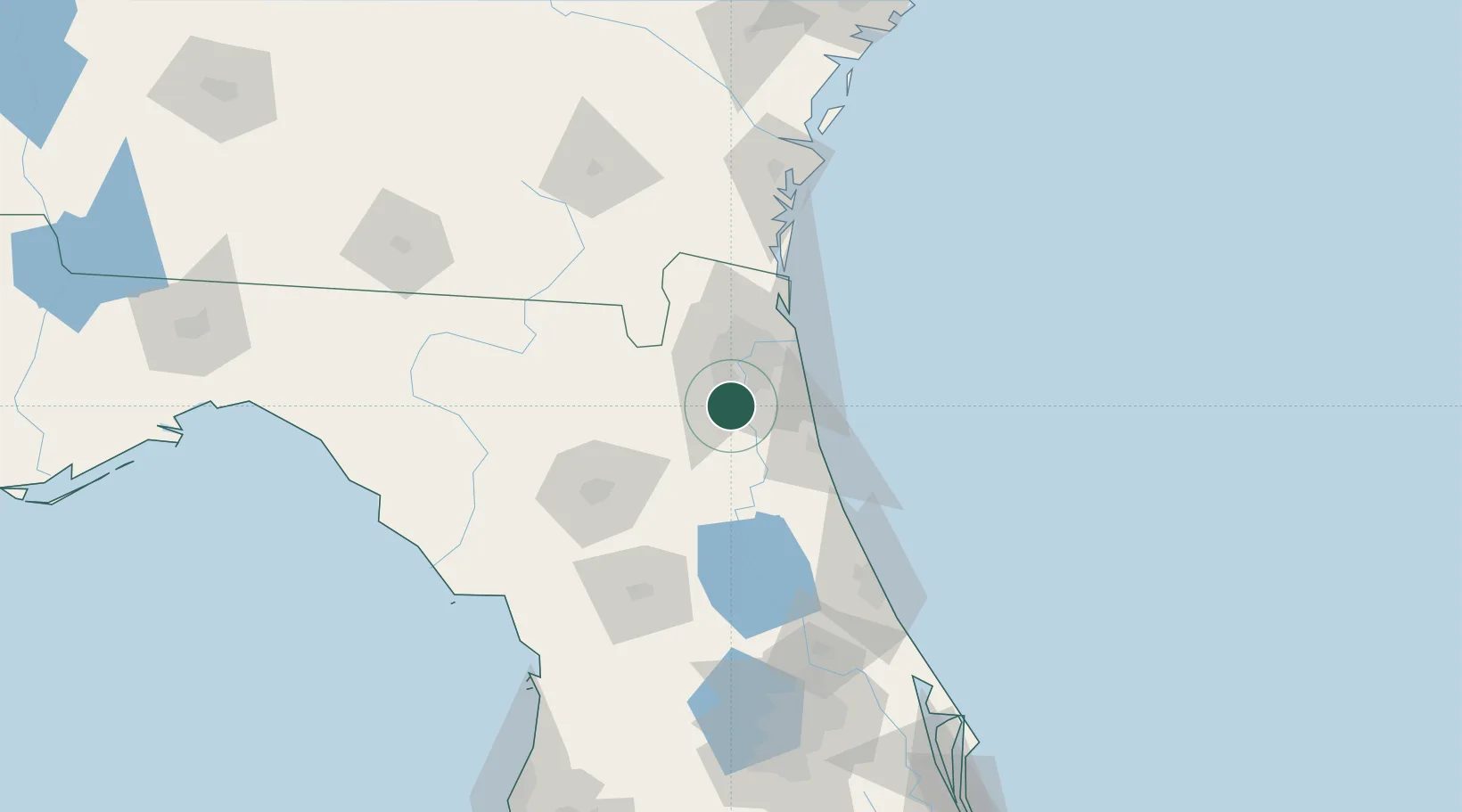
USFI7
Fleming Island
30.0833°, -81.7167°
27,126
Population
1
Transport functions
Transport Functions
Port
Hub Profile
Place type
Populated place
Region
Florida
Population
27,126
Time zone
America/New_York
Elevation
6 m
Location
Nearby Logistics Neighbours
Cities
- 1Saint Johns13 km
- 2Marietta27 km
- 3Jacksonville33 km
- 4Blount Island40 km
- 5Elkton43 km
Ports
- 1Jacksonville27 km
- 2St Augustine44 km
- 3Mayport45 km
- 4Fernandina Beach71 km
- 5Brunswick120 km
Airports
Trade Zones
- 1FTZ No. 064 Jacksonville38 km
- 2FTZ No. 198 Volusia County121 km
- 3FTZ No. 144 Brunswick121 km
- 4FTZ No. 250 Seminole County153 km
- 5FTZ No. 042 Orlando179 km
DatabookThe Record of Consolidated Knowledge
United States beyond logistics?