UN/LOCODE hub · United States
USWCW
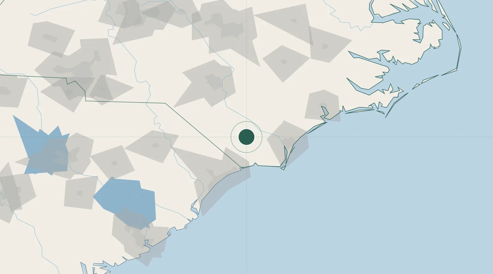
Lake Waccamaw
34.3167°, -78.5000°
1,465
Population
2
Transport functions
Transport Functions
Port
Road
Hub Profile
Place type
Populated place
Region
North Carolina
Population
1,465
Time zone
America/New_York
Elevation
18 m
Location
Nearby Logistics Neighbours
Cities
- 1Atkinson39 km
- 2Tabor City39 km
- 3Leland44 km
- 4Loris46 km
- 5Calabash49 km
Ports
- 1Wilmington51 km
- 2Southport63 km
- 3Wrightsville64 km
- 4Georgetown128 km
- 5New Bern159 km
Airports
Trade Zones
- 1FTZ No. 214 Lenoir County115 km
- 2FTZ No. 093 Raleigh Durham181 km
- 3FTZ No. 127 West Columbia245 km
- 4FTZ No. 021 Dorchester County247 km
- 5FTZ No. 230 Piedmont Triad Area257 km
DatabookThe Record of Consolidated Knowledge
United States beyond logistics?