UN/LOCODE hub · United States
USGRB
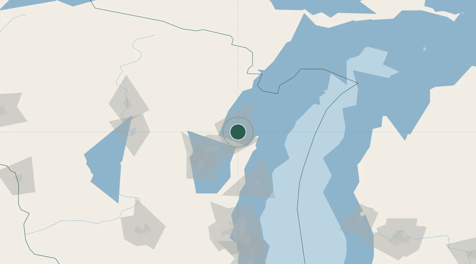
Green Bay
44.5167°, -88.0167°
105,207
Population
4
Transport functions
Transport Functions
Port
Rail
Road
Airport
Hub Profile
Place type
Provincial seat
Region
Wisconsin
Population
105,207
Time zone
America/Chicago
Elevation
180 m
Location
Nearby Logistics Neighbours
Cities
- 1Ashwaubenon8 km
- 2De Pere8 km
- 3New Franken16 km
- 4Wrightstown25 km
- 5Krakow33 km
Ports
- 1Kaukauna33 km
- 2Kewaunee41 km
- 3Oconto45 km
- 4Algoma47 km
- 5Two Rivers54 km
Airports
Trade Zones
- 1FTZ No. 167 Brown County22 km
- 2FTZ No. 041 Milwaukee162 km
- 3FTZ No. 019 Omaha170 km
- 4FTZ No. 189 Kent Ottawa/Muskegon Counties198 km
- 5FTZ No. 266 Dane County210 km
DatabookThe Record of Consolidated Knowledge
United States beyond logistics?