Channel & Berth Profile
Pilotage, Tugs & Services
Pilotage compulsoryYES
Pilotage availableNO
Tug assistanceNO
Salvage tugsNO
Shore powerNO
Potable waterYES
Diesel bunkersYES
MedicalYES
Facilities & Capabilities
Container—
Ro-Ro—
Liquid bulk—
Dry bulk—
Oil terminal—
Break bulk—
Dry dock—
RepairsNO
BunkeringYES
Rail linkNO
Dangerous cargo—
ISPS security—
Harbour Specifications
Harbour size
Very Small
Harbour type
River (Natural)
Shelter
Good
Water body
Lake Michigan; Great Lakes
Overhead limit
Yes
Pilotage
Yes
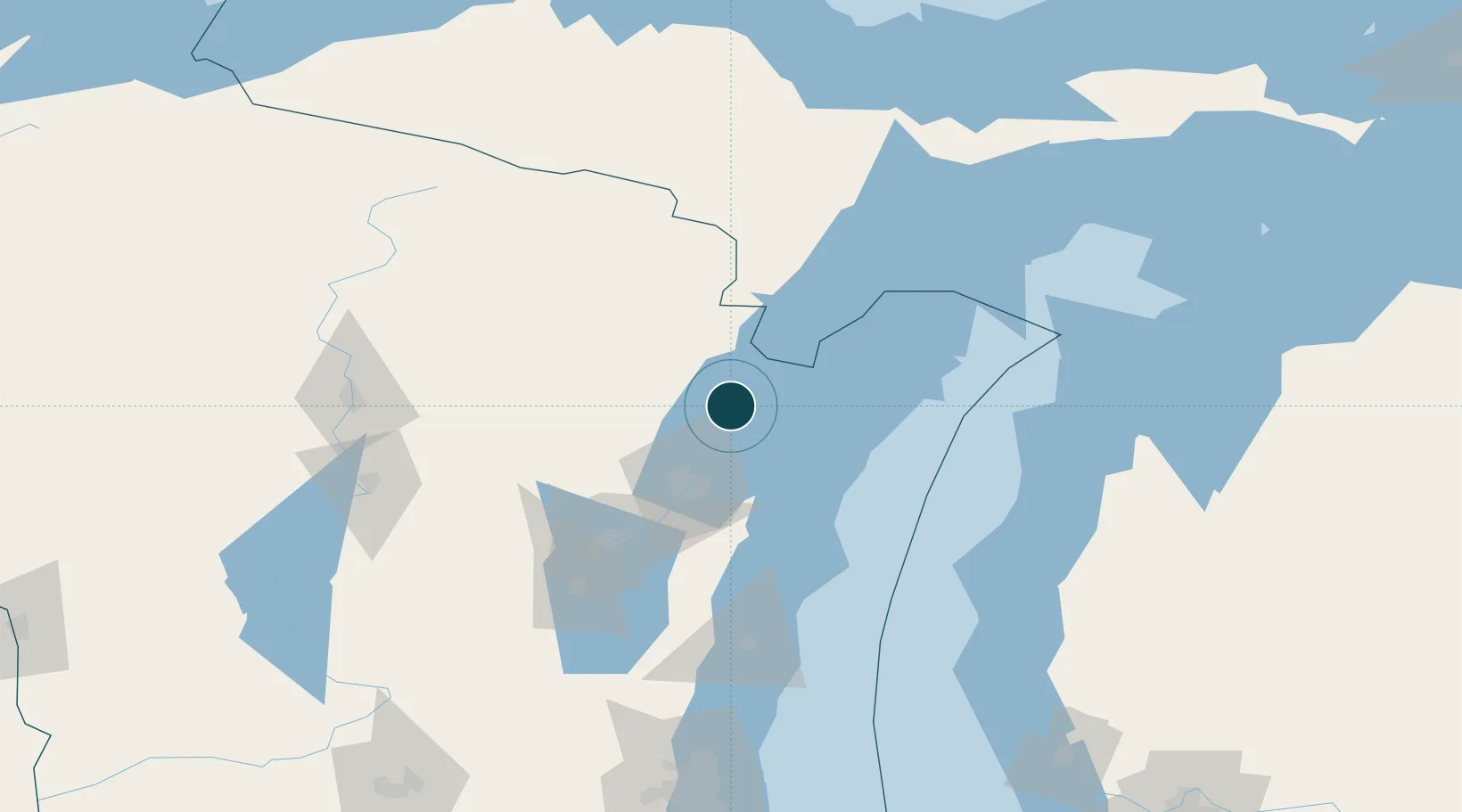
Location
Nearby Logistics Neighbours
Ports
- 1Marinette28 km
- 2Menominee29 km
- 3Sturgeon Bay36 km
- 4Green Bay45 km
- 5Algoma45 km
Cities
- 1Coleman24 km
- 2Pound28 km
- 3Krakow36 km
- 4Crivitz40 km
- 5New Franken40 km
Airports
- 1Austin Straubel International Airport52 km
- 2Appleton International Airport89 km
- 3Ford Airport105 km
- 4Delta County Airport109 km
- 5Wittman Regional Airport117 km
Trade Zones
- 1FTZ No. 167 Brown County60 km
- 2FTZ No. 019 Omaha198 km
- 3FTZ No. 041 Milwaukee205 km
- 4FTZ No. 189 Kent Ottawa/Muskegon Counties222 km
- 5FTZ No. 266 Dane County252 km
DatabookThe Record of Consolidated Knowledge
United States beyond logistics?