Transport Functions
Rail
Road
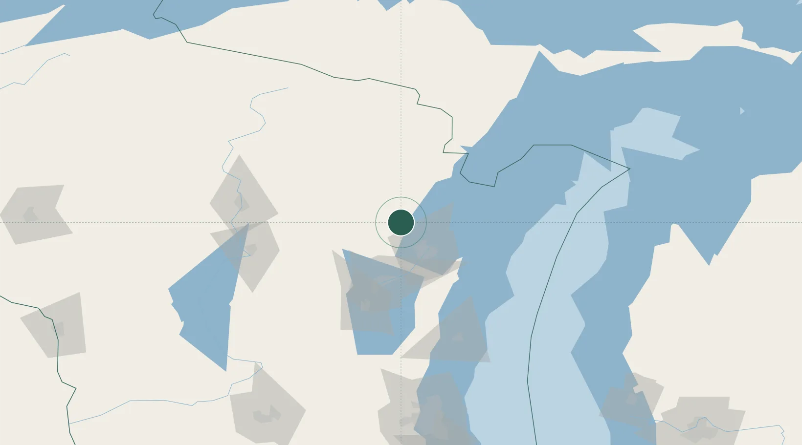
Hub Profile
Place type
Populated place
Region
Wisconsin
Population
354
Time zone
America/Chicago
Elevation
237 m
Location
Nearby Logistics Neighbours
Cities
- 1Green Bay33 km
- 2Coleman36 km
- 3Ashwaubenon36 km
- 4De Pere39 km
- 5Pound41 km
Airports
Trade Zones
- 1FTZ No. 167 Brown County34 km
- 2FTZ No. 041 Milwaukee190 km
- 3FTZ No. 019 Omaha203 km
- 4FTZ No. 266 Dane County222 km
- 5FTZ No. 189 Kent Ottawa/Muskegon Counties231 km
DatabookThe Record of Consolidated Knowledge
United States beyond logistics?