Transport Functions
Rail
Road
Multimodal
Hub Profile
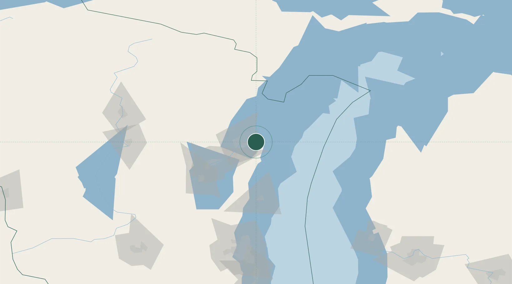
Place type
Populated place
Region
Wisconsin
Time zone
America/Chicago
Elevation
247 m
Location
Nearby Logistics Neighbours
Cities
- 1Green Bay16 km
- 2De Pere21 km
- 3Ashwaubenon22 km
- 4Kewaunee27 km
- 5Algoma30 km
Airports
Trade Zones
- 1FTZ No. 167 Brown County38 km
- 2FTZ No. 019 Omaha162 km
- 3FTZ No. 041 Milwaukee166 km
- 4FTZ No. 189 Kent Ottawa/Muskegon Counties189 km
- 5FTZ No. 266 Dane County222 km
DatabookThe Record of Consolidated Knowledge
United States beyond logistics?