Channel & Berth Profile
Pilotage, Tugs & Services
Pilotage compulsoryYES
Pilotage advisableYES
Tug assistanceYES
Salvage tugsNO
Shore powerYES
Potable waterYES
Diesel bunkersYES
MedicalYES
Facilities & Capabilities
Container—
Ro-Ro—
Liquid bulk—
Dry bulk—
Oil terminal—
Break bulk—
Dry dock—
RepairsNO
BunkeringYES
Rail linkYES
Dangerous cargo—
ISPS security—
Harbour Specifications
Harbour size
Very Small
Harbour type
River (Natural)
Shelter
Good
Water body
North Atlantic Ocean
Tidal range
1.2 m
Overhead limit
No
Pilotage
Yes
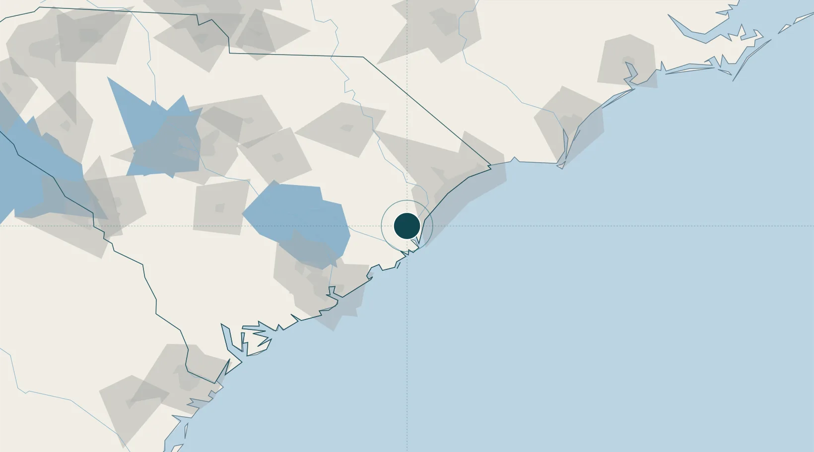
Location
Nearby Logistics Neighbours
Ports
- 1Charleston88 km
- 2Southport132 km
- 3Wilmington156 km
- 4Wrightsville165 km
- 5Beaufort166 km
Cities
- 1Pawleys Island17 km
- 2Jamestown38 km
- 3Lane57 km
- 4Huger58 km
- 5Saint Stephen59 km
Airports
Trade Zones
- 1FTZ No. 021 Dorchester County137 km
- 2FTZ No. 127 West Columbia184 km
- 3FTZ No. 104 Savannah221 km
- 4FTZ No. 214 Lenoir County242 km
- 5FTZ No. 057 Mecklenburg County268 km
DatabookThe Record of Consolidated Knowledge
United States beyond logistics?