Transport Functions
Port
Road
Multimodal
Hub Profile
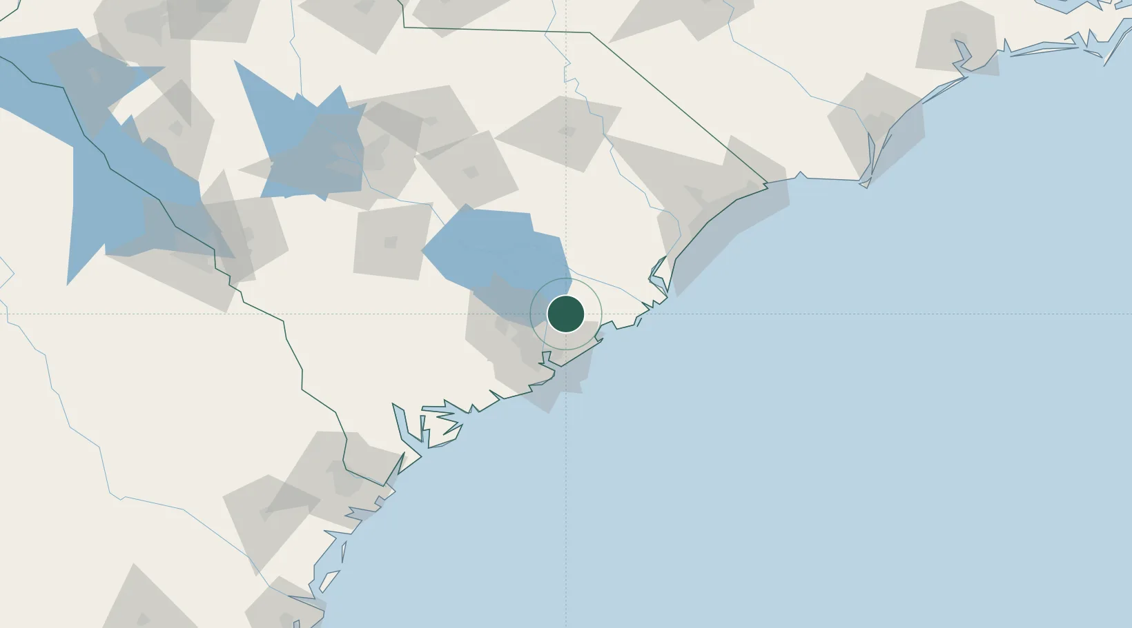
Place type
Populated place
Region
South Carolina
Time zone
America/New_York
Elevation
9 m
Location
Nearby Logistics Neighbours
Cities
- 1Jamestown25 km
- 2North Charleston28 km
- 3Charleston29 km
- 4Charleston Heights30 km
- 5Saint Stephen37 km
Ports
- 1Charleston35 km
- 2Georgetown58 km
- 3Beaufort109 km
- 4Port Royal115 km
- 5Savannah164 km
Airports
Trade Zones
- 1FTZ No. 021 Dorchester County85 km
- 2FTZ No. 127 West Columbia159 km
- 3FTZ No. 104 Savannah164 km
- 4FTZ No. 144 Brunswick268 km
- 5FTZ No. 057 Mecklenburg County269 km
DatabookThe Record of Consolidated Knowledge
United States beyond logistics?