Medium airport · United States
Shaw Air Force BaseKSSC
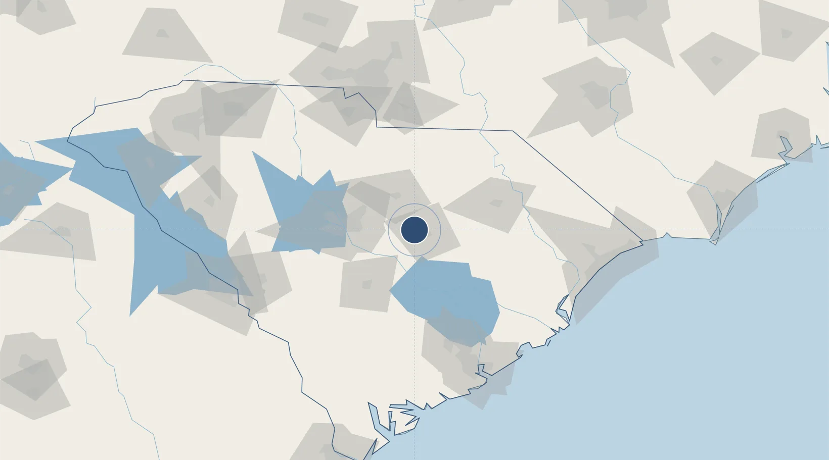
33.9727°, -80.4706°
10,014 ft
Longest runway
2
Runways
241 ft
Elevation
Runway & Layout

Radio Frequencies
ATIS
132.125 MHz
TWR
126.65 MHz
GND
126.1 MHz
CLD
121.8 MHz
CLNC DEL
A/D
125.4 MHz
APP/DEP
PMSV
34.25 MHz
PMSV METRO
POST
38.13 MHz
COMD POST
PTD
139.6 MHz
Navaids
SSC TACAN Shaw 110.10 MHz
Runways · 2
| Runway | Dimensions | Surface | True heading | Lit |
|---|---|---|---|---|
| 04L/22R | 10,014 × 150ft | Concrete | 035° | ✓ |
| 04R/22L | 8,014 × 150ft | Concrete | 035° | ✓ |
Airport Specifications
IATA code
SSC
ICAO code
KSSC
Airport class
Medium airport
Scheduled service
No
Runway surface
Concrete
Served city
Sumter
Location
Nearby Logistics Neighbours
Airports
Cities
- 1Shaw Air Force Base2 km
- 2Dalzell6 km
- 3Gadsden30 km
- 4Hopkins37 km
- 5Lynchburg38 km
Ports
- 1Georgetown129 km
- 2Charleston142 km
- 3Beaufort172 km
- 4Port Royal180 km
- 5Savannah218 km
Trade Zones
- 1FTZ No. 127 West Columbia61 km
- 2FTZ No. 021 Dorchester County102 km
- 3FTZ No. 057 Mecklenburg County154 km
- 4FTZ No. 038 Spartanburg County192 km
- 5FTZ No. 104 Savannah217 km
DatabookThe Record of Consolidated Knowledge
United States beyond logistics?