UN/LOCODE hub · United States
USZSH
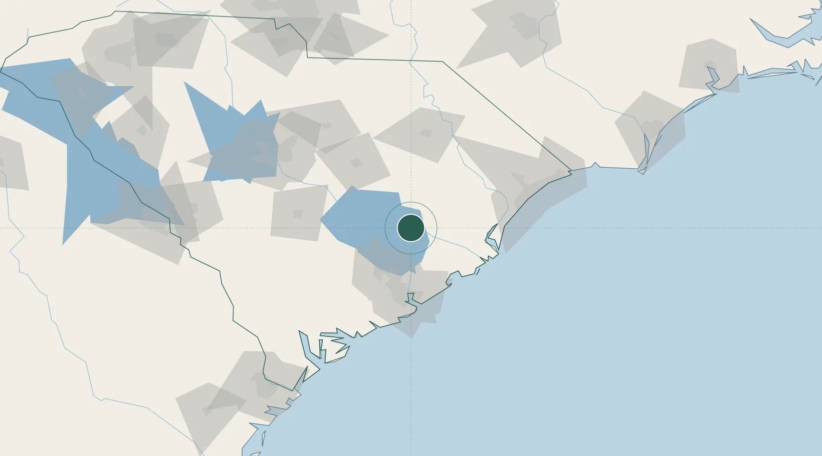
Saint Stephen
33.4000°, -79.9167°
1,697
Population
3
Transport functions
Transport Functions
Rail
Road
Multimodal
Hub Profile
Place type
Populated place
Region
South Carolina
Population
1,697
Time zone
America/New_York
Elevation
24 m
Location
Nearby Logistics Neighbours
Cities
- 1Lane14 km
- 2Jamestown25 km
- 3Huger37 km
- 4Holly Hill46 km
- 5Gable49 km
Ports
- 1Georgetown59 km
- 2Charleston69 km
- 3Beaufort128 km
- 4Port Royal135 km
- 5Savannah183 km
Airports
Trade Zones
- 1FTZ No. 021 Dorchester County83 km
- 2FTZ No. 127 West Columbia130 km
- 3FTZ No. 104 Savannah182 km
- 4FTZ No. 057 Mecklenburg County233 km
- 5FTZ No. 038 Spartanburg County271 km
DatabookThe Record of Consolidated Knowledge
United States beyond logistics?