Large airport · United States
Charleston International AirportKCHS
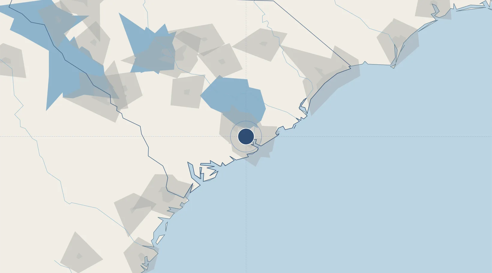
32.8962°, -80.0382°
9,001 ft
Longest runway
2
Runways
46 ft
Elevation
Runway & Layout

Radio Frequencies
ATIS
124.75 MHz
TWR
126 MHz
GND
121.9 MHz
CLD
118 MHz
CLNC DEL
APP
30.692 MHz
APP
119.3 MHz
DEP
120.7 MHz
PMSV
34.46 MHz
PMSV METRO
POST
134.1 MHz
CONSOLIDATED COMD
PTD
37.22 MHz
RDO
122.2 MHz
ANDERSON RDO
UNIC
122.95 MHz
UNICOM
Navaids
CH NDB Ashly 329 kHz
CHS VORTAC Charleston 113.50 MHz
Runways · 2
| Runway | Dimensions | Surface | True heading | Lit |
|---|---|---|---|---|
| 15/33 | 9,001 × 150ft | Concrete | 147° | ✓ |
| 03/21 | 7,000 × 150ft | Asphalt | 024° | ✓ |
Airport Specifications
IATA code
CHS
ICAO code
KCHS
Airport class
Large airport
Scheduled service
Yes
Runway surface
Concrete
Served city
Charleston
Location
Nearby Logistics Neighbours
Airports
Cities
- 1North Charleston4 km
- 2Charleston7 km
- 3Charleston Heights8 km
- 4Ravenel25 km
- 5Wadmalaw Island28 km
Ports
- 1Charleston17 km
- 2Beaufort78 km
- 3Port Royal84 km
- 4Georgetown88 km
- 5Savannah133 km
Trade Zones
- 1FTZ No. 021 Dorchester County66 km
- 2FTZ No. 104 Savannah133 km
- 3FTZ No. 127 West Columbia158 km
- 4FTZ No. 144 Brunswick238 km
- 5FTZ No. 057 Mecklenburg County280 km
DatabookThe Record of Consolidated Knowledge
United States beyond logistics?