UN/LOCODE hub · United States
USZPI
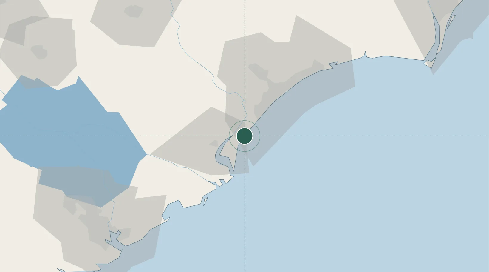
Pawleys Island
33.4333°, -79.1167°
107
Population
2
Transport functions
Transport Functions
Road
Multimodal
Hub Profile
Place type
Populated place
Region
South Carolina
Population
107
Time zone
America/New_York
Elevation
1 m
Location
Nearby Logistics Neighbours
Cities
- 1Georgetown19 km
- 2Jamestown55 km
- 3North Myrtle Beach58 km
- 4Aynor62 km
- 5Little River67 km
Ports
- 1Georgetown17 km
- 2Charleston104 km
- 3Southport115 km
- 4Wilmington140 km
- 5Wrightsville148 km
Airports
Trade Zones
- 1FTZ No. 021 Dorchester County154 km
- 2FTZ No. 127 West Columbia196 km
- 3FTZ No. 214 Lenoir County228 km
- 4FTZ No. 104 Savannah238 km
- 5FTZ No. 057 Mecklenburg County272 km
DatabookThe Record of Consolidated Knowledge
United States beyond logistics?