Foreign Trade Zone · United States

FTZ No. 057 Mecklenburg County Active
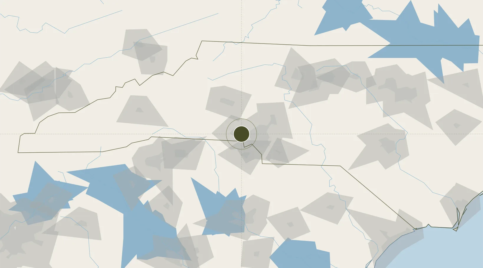
35.2581°, -81.0843°
267.6 km
Nearest port
13.7 km
Nearest airport

Gateway access

Nearest neighbours — logibook spatial index (haversine) over the source coordinates

Zone profile

Zone type
Foreign Trade Zone
Open Zone Map
Region
North Carolina
Open Zone Map
Status
Active
Open Zone Map
Management
Public-Private Partnership
Open Zone Map
Operator
Charlotte Regional Partnership, Inc.
Open Zone Map
Legal framework
Foreign-Trade Zones Act
Open Zone Map

Location

Location of ozm-4934
Natural Earth 10m (public domain) · North Carolina · ozm-4934 · 35.26, -81.08GoogleOSMYandex

Nearby Logistics Neighbours

Ports
  1. 1Georgetown268 km
  2. 2Charleston296 km
  3. 3Wilmington308 km
  4. 4Beaufort317 km
  5. 5Southport318 km
Nearest neighbours — logibook spatial index (haversine) over the source coordinates
Airports
  1. 1Charlotte Douglas International Airport14 km
  2. 2Concord-Padgett Regional Airport37 km
  3. 3Hickory Regional Airport60 km
  4. 4Greenville-Spartanburg International Airport111 km
  5. 5Greenville Downtown Airport124 km
Nearest neighbours — logibook spatial index (haversine) over the source coordinates
Cities
  1. 1Lowell2 km
  2. 2Cramerton3 km
  3. 3Toddville15 km
  4. 4Iron Station20 km
  5. 5Clover21 km
Nearest neighbours — logibook spatial index (haversine) over the source coordinates
Trade Zones
  1. 1FTZ No. 038 Spartanburg County114 km
  2. 2FTZ No. 230 Piedmont Triad Area134 km
  3. 3FTZ No. 127 West Columbia141 km
  4. 4FTZ No. 204 Tri-Cities181 km
  5. 5FTZ No. 238 Dublin207 km
Nearest neighbours — logibook spatial index (haversine) over the source coordinates
DatabookThe Record of Consolidated Knowledge
United States beyond logistics?
Browse databook

All Sources

Trade ZonesOpen Zone Map
CC BY
Portsthe NGA World Port Index
Public domain (US gov)
AirportsOurAirports
Public domain
LocationsUN/LOCODE
UN/LOCODE — free
← United States trade zones