Medium airport · United States
Florence Regional AirportKFLO
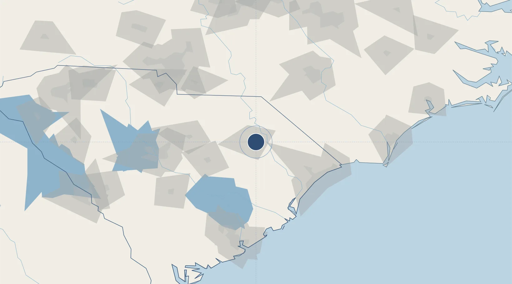
34.1854°, -79.7239°
6,502 ft
Longest runway
2
Runways
146 ft
Elevation
Runway & Layout

Radio Frequencies
ATIS
123.625 MHz
TWR
125.1 MHz
APP
118.6 MHz
APP DEP
CTAF
125.1 MHz
GCCD
121.9 MHz
GND/CLNC DEL
RDO
122.6 MHz
ANDERSON RDO
UNIC
122.95 MHz
UNICOM
Navaids
FL NDB Alcot 335 kHz
Runways · 2
| Runway | Dimensions | Surface | True heading | Lit |
|---|---|---|---|---|
| 09/27 | 6,502 × 150ft | Asphalt | 084° | ✓ |
| 01/19 | 6,000 × 150ft | Asphalt | 002° | ✓ |
Airport Specifications
IATA code
FLO
ICAO code
KFLO
Airport class
Medium airport
Scheduled service
Yes
Runway surface
Asphalt
Served city
Florence
Location
Nearby Logistics Neighbours
Airports
Cities
- 1Effingham15 km
- 2Timmonsville20 km
- 3Coward24 km
- 4Pamplico25 km
- 5Lamar32 km
Ports
- 1Georgetown100 km
- 2Charleston157 km
- 3Southport160 km
- 4Wilmington163 km
- 5Wrightsville175 km
Trade Zones
- 1FTZ No. 127 West Columbia131 km
- 2FTZ No. 021 Dorchester County154 km
- 3FTZ No. 057 Mecklenburg County172 km
- 4FTZ No. 214 Lenoir County203 km
- 5FTZ No. 093 Raleigh Durham205 km
DatabookThe Record of Consolidated Knowledge
United States beyond logistics?