Transport Functions
Rail
Road
Hub Profile
Place type
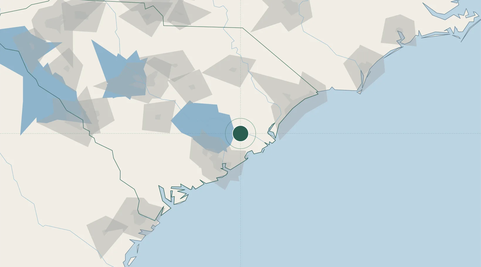
Populated place
Region
South Carolina
Population
80
Time zone
America/New_York
Elevation
9 m
Location
Nearby Logistics Neighbours
Cities
- 1Huger25 km
- 2Saint Stephen25 km
- 3Lane31 km
- 4Georgetown37 km
- 5North Charleston52 km
Ports
- 1Georgetown38 km
- 2Charleston60 km
- 3Beaufort132 km
- 4Port Royal138 km
- 5Southport170 km
Airports
- 1Charleston International Airport54 km
- 2Myrtle Beach International Airport83 km
- 3Florence Regional Airport100 km
- 4Shaw Air Force Base106 km
- 5Grand Strand Airport107 km
Trade Zones
- 1FTZ No. 021 Dorchester County99 km
- 2FTZ No. 127 West Columbia155 km
- 3FTZ No. 104 Savannah187 km
- 4FTZ No. 057 Mecklenburg County255 km
- 5FTZ No. 214 Lenoir County271 km
DatabookThe Record of Consolidated Knowledge
United States beyond logistics?