Channel & Berth Profile
Pilotage, Tugs & Services
Pilotage compulsoryYES
Tug assistanceYES
Salvage tugsNO
Shore powerYES
Potable waterYES
Diesel bunkersYES
MedicalYES
Facilities & Capabilities
Container—
Ro-Ro—
Liquid bulk—
Dry bulk—
Oil terminal—
Break bulk—
Dry dock—
RepairsNO
Bunkering—
Rail linkYES
Dangerous cargo—
ISPS security—
Harbour Specifications
Harbour size
Very Small
Harbour type
River (Natural)
Shelter
Good
Water body
North Atlantic Ocean
Tidal range
2.1 m
Pilotage
Yes
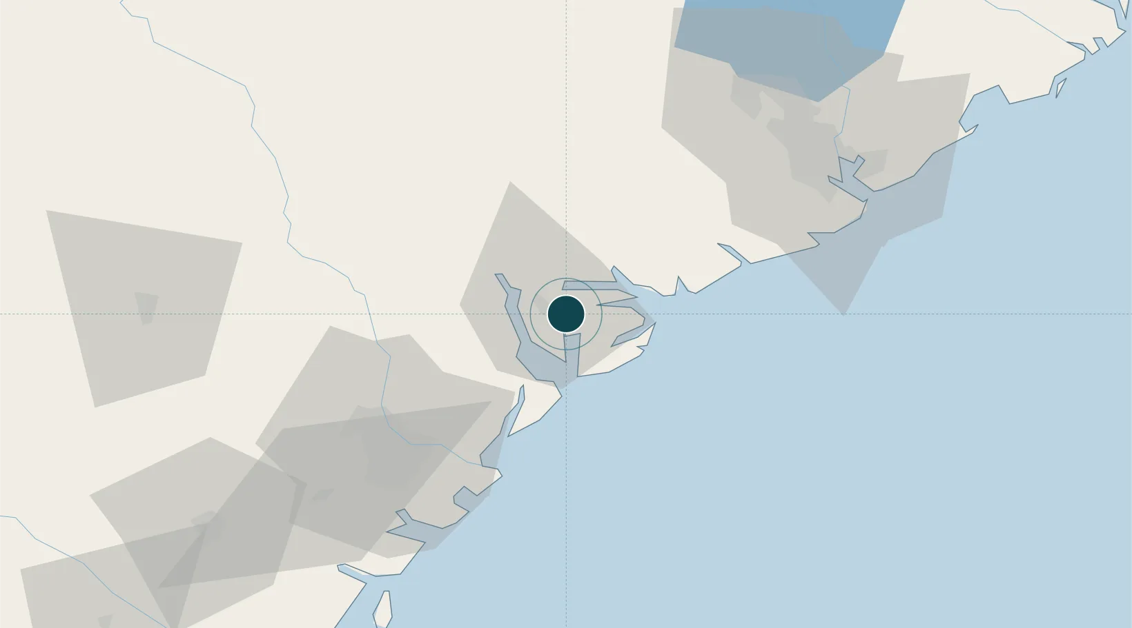
Location
Nearby Logistics Neighbours
Ports
- 1Port Royal8 km
- 2Savannah55 km
- 3Charleston80 km
- 4Darien139 km
- 5Brunswick163 km
Cities
- 1Yemassee33 km
- 2Early Branch43 km
- 3Adams Run43 km
- 4Tybee Island51 km
- 5Wadmalaw Island54 km
Airports
Trade Zones
- 1FTZ No. 104 Savannah55 km
- 2FTZ No. 021 Dorchester County72 km
- 3FTZ No. 144 Brunswick163 km
- 4FTZ No. 127 West Columbia179 km
- 5FTZ No. 064 Jacksonville263 km
DatabookThe Record of Consolidated Knowledge
United States beyond logistics?