Seaport · United States
CharlestonUSCHS
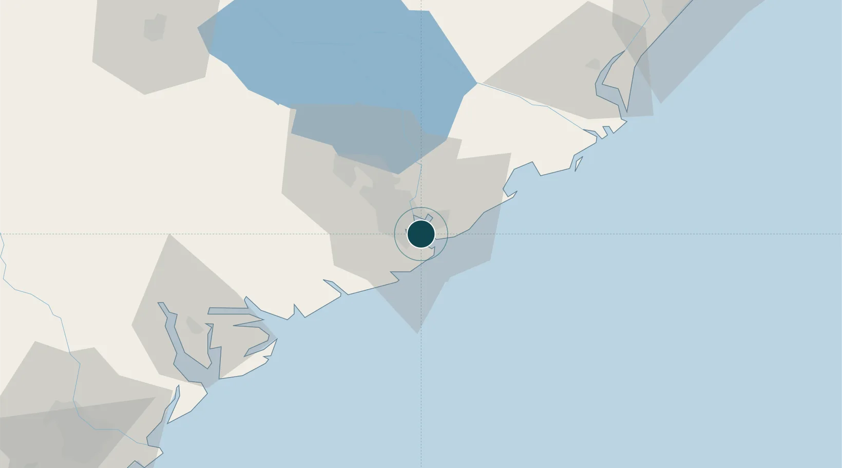
32.7833°, -79.9167°
12.5 m
Channel depth
3
Container terminals
364.4
Port liner connectivity
Channel & Berth Profile
Pilotage, Tugs & Services
Pilotage compulsoryYES
Pilotage advisableYES
Tug assistanceYES
Salvage tugsYES
Shore powerYES
Potable waterYES
Diesel bunkersYES
MedicalYES
Garbage disposalYES
Facilities & Capabilities
Container—
Ro-Ro—
Liquid bulk—
Dry bulk—
Oil terminal—
Break bulk—
Dry dockNO
RepairsNO
BunkeringYES
Rail linkYES
Dangerous cargo—
ISPS security—
Harbour Specifications
Harbour size
Small
Harbour type
River (Natural)
Shelter
Good
Water body
North Atlantic Ocean
Tidal range
1.5 m
Overhead limit
Yes
Pilotage
Yes
Liner Connectivity
364.4
PLSCI
Port Liner Shipping Connectivity Index for Charleston, as published by UNCTAD for the latest available quarter. Higher values indicate stronger scheduled liner-shipping integration.
Shown relative to the highest per-port PLSCI in the dataset (1,657.9).
Location
Container Terminals · 3
HUGH K. LEATHERMAN TERMINAL (HLT)
HLT SOUTH CAROLINA STATE PORTS AUTHORITY
NORTH CHARLESTON MARINE TERMINAL
NCMT SOUTH CAROLINA STATE PORTS AUTHORITY
WANDO WELCH MARINE TERMINAL
WWMT SOUTH CAROLINA STATE PORTS AUTHORITY
Nearby Logistics Neighbours
Ports
- 1Beaufort80 km
- 2Port Royal86 km
- 3Georgetown88 km
- 4Savannah134 km
- 5Darien213 km
Cities
- 1Charleston Heights9 km
- 2North Charleston15 km
- 3Wadmalaw Island27 km
- 4Ravenel31 km
- 5Huger35 km
Airports
Trade Zones
- 1FTZ No. 021 Dorchester County81 km
- 2FTZ No. 104 Savannah135 km
- 3FTZ No. 127 West Columbia175 km
- 4FTZ No. 144 Brunswick235 km
- 5FTZ No. 057 Mecklenburg County296 km
DatabookThe Record of Consolidated Knowledge
United States beyond logistics?