Medium airport · United States

Santa Monica Municipal AirportKSMO

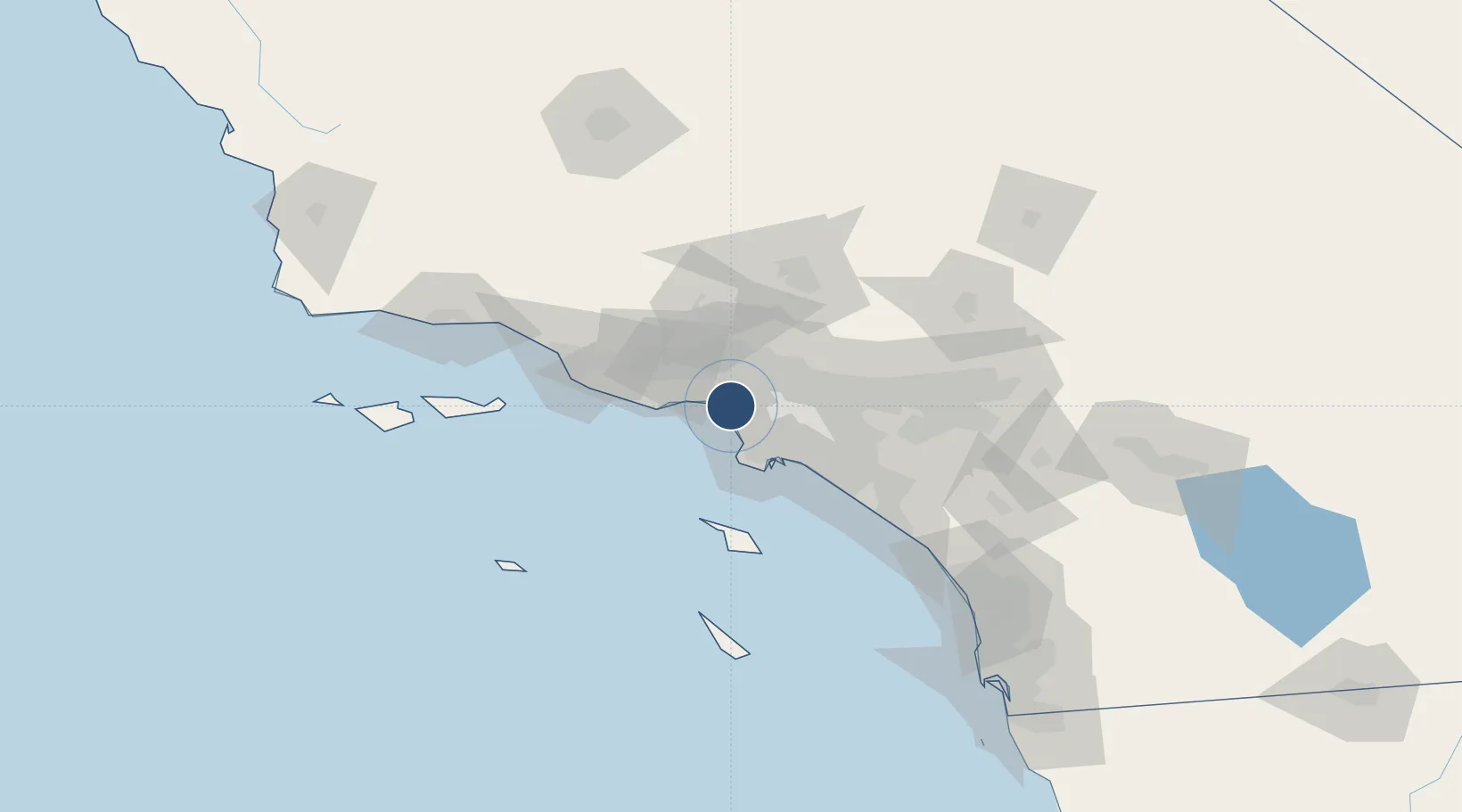
34.0158°, -118.4510°
3,500 ft
Longest runway
1
Runways
170 ft
Elevation

Runway & Layout

Santa Monica Municipal Airport runway & taxiway layout
Runway & taxiway layout — OpenStreetMap (ODbL) / OurAirports

Radio Frequencies

ATIS
119.15 MHz
TWR
120.1 MHz
GND
121.9 MHz
APP
124.3 MHz
SOCAL APP
DEP
125.2 MHz
SOCAL DEP
CTAF
120.1 MHz
UNIC
122.95 MHz
UNICOM
OurAirports

Runways · 1

RunwayDimensions SurfaceTrue headingLit
03/21 3,500 × 150ft Asphalt 045°
OurAirports

Airport Specifications

IATA code
SMO
OurAirports
ICAO code
KSMO
OurAirports
Airport class
Medium airport
OurAirports
Scheduled service
No
OurAirports
Runway surface
Asphalt
OurAirports
Served city
Santa Monica
OurAirports

Location

Location of KSMO
Natural Earth 10m (public domain) · California · KSMO · 34.02, -118.45GoogleOSMYandex

Nearby Logistics Neighbours

Airports
  1. 1Los Angeles International Airport9 km
  2. 2Jack Northrop Field Hawthorne Municipal Airport15 km
  3. 3Van Nuys Airport22 km
  4. 4Hollywood Burbank Airport23 km
  5. 5Long Beach International Airport36 km
Nearest neighbours — logibook spatial index (haversine) over the source coordinates
Cities
  1. 1Westwood5 km
  2. 2Playa Vista6 km
  3. 3Vermont15 km
  4. 4South Gate24 km
  5. 5North Hills24 km
Nearest neighbours — logibook spatial index (haversine) over the source coordinates
Ports
  1. 1El Segundo11 km
  2. 2Los Angeles35 km
  3. 3Long Beach37 km
  4. 4Newport Beach68 km
  5. 5Port Hueneme71 km
Nearest neighbours — logibook spatial index (haversine) over the source coordinates
Trade Zones
  1. 1FTZ No. 202 Los Angeles34 km
  2. 2FTZ No. 050 Long Beach37 km
  3. 3FTZ No. 191 Palmdale70 km
  4. 4FTZ No. 205 Port Hueneme71 km
  5. 5FTZ No. 244 Riverside County108 km
Nearest neighbours — logibook spatial index (haversine) over the source coordinates
DatabookThe Record of Consolidated Knowledge
United States beyond logistics?
Browse databook

All Sources

AirportsOurAirports
Public domain
Portsthe NGA World Port Index
Public domain (US gov)
LocationsUN/LOCODE
UN/LOCODE — free
Trade Zonesthe World Bank SEZ database
CC BY 4.0
Trade ZonesOpen Zone Map
CC BY
InfrastructureOpenStreetMap
ODbL 1.0
← United States airports