UN/LOCODE hub · United States
USLGB
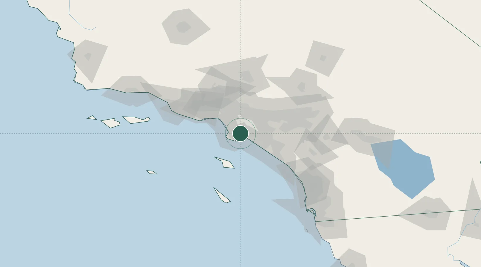
Long Beach
33.8156°, -118.2157°
474,140
Population
4
Transport functions
6
Container terminals
Transport Functions
Port
Rail
Road
Airport
Hub Profile
Place type
Populated place
Region
California
Population
474,140
Time zone
America/Los_Angeles
Elevation
9 m
Logistics facilities
107
Container terminals
6
Location
Nearby Logistics Neighbours
Cities
- 1San Pedro3 km
- 2Thenard4 km
- 3Wilmington4 km
- 4North Long Beach5 km
- 5Los Angeles6 km
Ports
- 1Los Angeles8 km
- 2El Segundo23 km
- 3Newport Beach37 km
- 4Avalon53 km
- 5Port Hueneme98 km
Airports
Trade Zones
DatabookThe Record of Consolidated Knowledge
United States beyond logistics?