UN/LOCODE hub · United States
US3DC
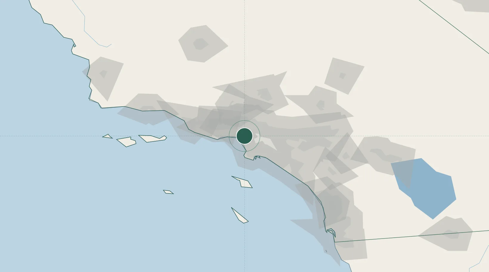
Westwood
34.0500°, -118.4167°
2,019
Population
2
Transport functions
Transport Functions
Port
Road
Hub Profile
Place type
Urban district
Region
California
Population
2,019
Time zone
America/Los_Angeles
Elevation
82 m
Location
Nearby Logistics Neighbours
Cities
- 1Playa Vista9 km
- 2Vermont13 km
- 3North Hills21 km
- 4South Gate23 km
- 5Commerce/Los Angeles25 km
Ports
- 1El Segundo15 km
- 2Los Angeles37 km
- 3Long Beach38 km
- 4Newport Beach68 km
- 5Port Hueneme73 km
Airports
Trade Zones
- 1FTZ No. 202 Los Angeles37 km
- 2FTZ No. 050 Long Beach37 km
- 3FTZ No. 191 Palmdale65 km
- 4FTZ No. 205 Port Hueneme73 km
- 5FTZ No. 244 Riverside County105 km
DatabookThe Record of Consolidated Knowledge
United States beyond logistics?