UN/LOCODE hub · United States
USOUG
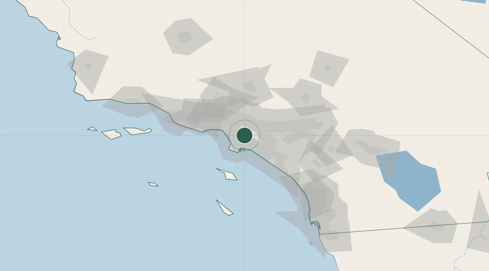
South Gate
33.9500°, -118.2000°
96,401
Population
3
Transport functions
Transport Functions
Rail
Road
Multimodal
Hub Profile
Place type
Populated place
Region
California
Population
96,401
Time zone
America/Los_Angeles
Elevation
35 m
Location
Nearby Logistics Neighbours
Cities
- 1Commerce/Los Angeles6 km
- 2Los Angeles10 km
- 3North Long Beach11 km
- 4Long Beach15 km
- 5San Pedro16 km
Ports
- 1Long Beach20 km
- 2El Segundo22 km
- 3Los Angeles23 km
- 4Newport Beach46 km
- 5Avalon68 km
Airports
Trade Zones
- 1FTZ No. 050 Long Beach17 km
- 2FTZ No. 202 Los Angeles25 km
- 3FTZ No. 191 Palmdale70 km
- 4FTZ No. 244 Riverside County84 km
- 5FTZ No. 205 Port Hueneme95 km
DatabookThe Record of Consolidated Knowledge
United States beyond logistics?