Large airport · United States
Los Angeles International AirportKLAX
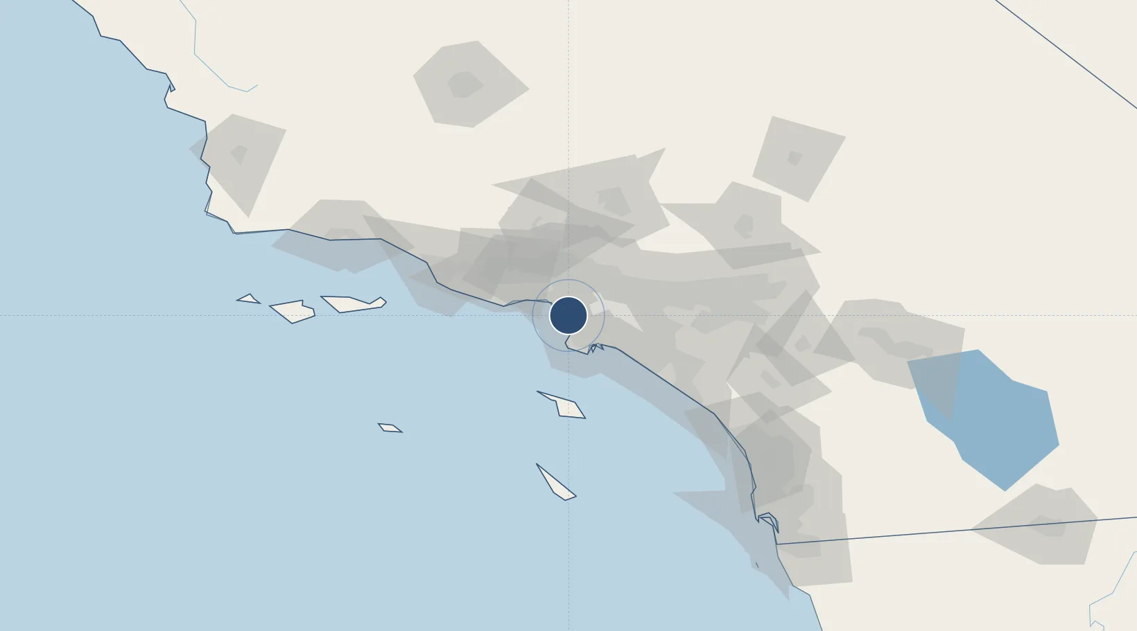
33.9425°, -118.4080°
12,923 ft
Longest runway
4
Runways
125 ft
Elevation
Runway & Layout

Radio Frequencies
ATIS
133.8 MHz
TWR
119.8 MHz
GND
121.65 MHz
CLD
121.4 MHz
CLNC DEL
APP
36.07 MHz
SOCAL APP
APP
124.3 MHz
SOCAL APP
DEP
124.3 MHz
SOCAL DEP
MISC
34.5 MHz
CG
MISC
898.4 MHz
CG
OPS
37.22 MHz
AF
UNIC
122.95 MHz
UNICOM
Navaids
LAX VORTAC Los Angeles 113.60 MHz
OS NDB Romen 278 kHz
Runways · 4
| Runway | Dimensions | Surface | True heading | Lit |
|---|---|---|---|---|
| 07L/25R | 12,923 × 150ft | Concrete | 083° | ✓ |
| 07R/25L | 11,095 × 200ft | Concrete | 083° | ✓ |
| 06R/24L | 10,885 × 150ft | Concrete | 083° | ✓ |
| 06L/24R | 8,926 × 150ft | Concrete | 083° | ✓ |
Airport Specifications
IATA code
LAX
ICAO code
KLAX
Airport class
Large airport
Scheduled service
Yes
Runway surface
Concrete
Served city
Los Angeles
Location
Nearby Logistics Neighbours
Airports
Cities
- 1Playa Vista3 km
- 2Westwood12 km
- 3South Gate19 km
- 4Los Angeles22 km
- 5Long Beach23 km
Ports
- 1El Segundo4 km
- 2Los Angeles26 km
- 3Long Beach29 km
- 4Newport Beach59 km
- 5Avalon66 km
Trade Zones
- 1FTZ No. 202 Los Angeles25 km
- 2FTZ No. 050 Long Beach29 km
- 3FTZ No. 191 Palmdale76 km
- 4FTZ No. 205 Port Hueneme77 km
- 5FTZ No. 244 Riverside County103 km
DatabookThe Record of Consolidated Knowledge
United States beyond logistics?