Large airport · United States
Savannah Hilton Head International AirportKSAV
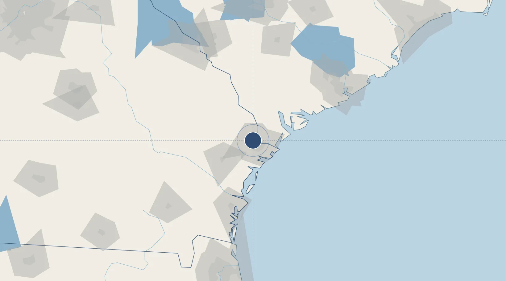
32.1266°, -81.2000°
9,351 ft
Longest runway
2
Runways
50 ft
Elevation
Runway & Layout

Radio Frequencies
ATIS
123.75 MHz
TWR
125.975 MHz
GND
121.9 MHz
CLD
119.55 MHz
CLNC DEL
CTAF
125.975 MHz
A/D
118.4 MHz
APP/DEP
MISC
112.7 MHz
ANDERSON RDO
OPS
23.7 MHz
CRTC OPS
POST
22.575 MHz
165 AW COMD POST
RDO
123.65 MHz
MACON RDO
UNIC
122.95 MHz
UNICOM
Navaids
SA NDB Mavis 368 kHz
SAV VORTAC Savannah 115.95 MHz
Runways · 2
| Runway | Dimensions | Surface | True heading | Lit |
|---|---|---|---|---|
| 10/28 | 9,351 × 150ft | CONC-G | 091° | — |
| 01/19 | 7,002 × 150ft | CONC-G | 000° | — |
Airport Specifications
IATA code
SAV
ICAO code
KSAV
Airport class
Large airport
Scheduled service
Yes
Runway surface
CONC-G
Served city
Savannah
Location
Nearby Logistics Neighbours
Airports
- 1Hunter Army Air Field14 km
- 2Hilton Head Airport49 km
- 3Beaufort MCAS - Merritt Field59 km
- 4Brunswick Golden Isles Airport100 km
- 5St Simons Island Airport110 km
Cities
- 1Savannah4 km
- 2Ellabell27 km
- 3Lanier31 km
- 4Tybee Island37 km
- 5Pembroke39 km
Ports
- 1Savannah12 km
- 2Port Royal55 km
- 3Beaufort61 km
- 4Darien87 km
- 5Brunswick112 km
Trade Zones
- 1FTZ No. 104 Savannah11 km
- 2FTZ No. 144 Brunswick112 km
- 3FTZ No. 021 Dorchester County115 km
- 4FTZ No. 127 West Columbia207 km
- 5FTZ No. 064 Jacksonville211 km
DatabookThe Record of Consolidated Knowledge
United States beyond logistics?