UN/LOCODE hub · United States
USM25

McIntosh

31.8167°, -81.5167°
1
Transport functions

Transport Functions

Multimodal
UN/LOCODE

Hub Profile

Place type
Populated place
GeoNames
Region
Georgia
GeoNames
Time zone
America/New_York
GeoNames
Elevation
5 m
GeoNames

Location

Location of USM25
Natural Earth 10m (public domain) · Georgia · USM25 · 31.82, -81.52GoogleOSMYandex

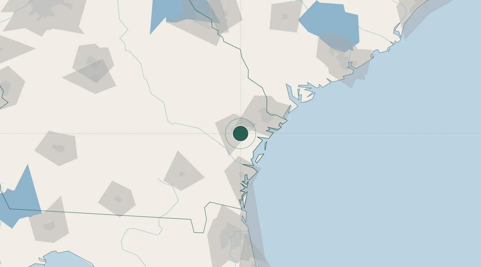
Nearby Logistics Neighbours

Cities
  1. 1Fort Stewart11 km
  2. 2Townsend32 km
  3. 3Lanier33 km
  4. 4Ellabell34 km
  5. 5Pembroke37 km
Nearest neighbours — logibook spatial index (haversine) over the source coordinates
Ports
  1. 1Savannah51 km
  2. 2Darien51 km
  3. 3Brunswick74 km
  4. 4Port Royal100 km
  5. 5Beaufort105 km
Nearest neighbours — logibook spatial index (haversine) over the source coordinates
Airports
  1. 1Hunter Army Air Field41 km
  2. 2Savannah Hilton Head International Airport46 km
  3. 3Brunswick Golden Isles Airport62 km
  4. 4St Simons Island Airport75 km
  5. 5Hilton Head Airport90 km
Nearest neighbours — logibook spatial index (haversine) over the source coordinates
Trade Zones
  1. 1FTZ No. 104 Savannah50 km
  2. 2FTZ No. 144 Brunswick74 km
  3. 3FTZ No. 021 Dorchester County159 km
  4. 4FTZ No. 064 Jacksonville169 km
  5. 5FTZ No. 127 West Columbia245 km
Nearest neighbours — logibook spatial index (haversine) over the source coordinates
DatabookThe Record of Consolidated Knowledge
United States beyond logistics?
Browse databook

All Sources

LocationsUN/LOCODE
UN/LOCODE — free
Portsthe NGA World Port Index
Public domain (US gov)
AirportsOurAirports
Public domain
Trade Zonesthe World Bank SEZ database
CC BY 4.0
Trade ZonesOpen Zone Map
CC BY
← United States locations