Medium airport · United States
Hunter Army Air FieldKSVN
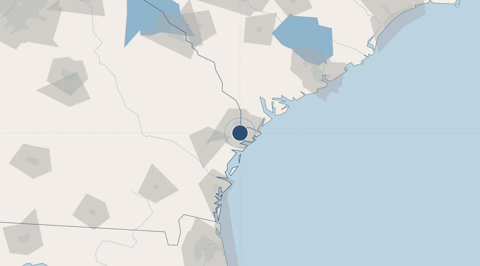
32.0100°, -81.1457°
11,375 ft
Longest runway
1
Runways
41 ft
Elevation
Runway & Layout

Radio Frequencies
ATIS
32.312 MHz
TWR
46.7 MHz
GND
121.8 MHz
CTAF
133.55 MHz
A/D
118.4 MHz
SAVANNAH APP/DEP
MISC
34.5 MHz
USCG SAVANNAH AIR
OPS
38.15 MHz
ARNG OPS
PMSV
30.9 MHz
PMSV METRO
PTD
126.2 MHz
Navaids
SV NDB Wassa 335 kHz
SVN VOR-DME Hunter 111.60 MHz
Runways · 1
| Runway | Dimensions | Surface | True heading | Lit |
|---|---|---|---|---|
| 10/28 | 11,375 × 197ft | Asphalt | 092° | ✓ |
Airport Specifications
IATA code
SVN
ICAO code
KSVN
Airport class
Medium airport
Scheduled service
No
Runway surface
Asphalt
Served city
Savannah
Location
Nearby Logistics Neighbours
Airports
Cities
- 1Savannah11 km
- 2Tybee Island30 km
- 3Ellabell34 km
- 4Lanier38 km
- 5McIntosh41 km
Ports
- 1Savannah10 km
- 2Port Royal59 km
- 3Beaufort65 km
- 4Darien77 km
- 5Brunswick101 km
Trade Zones
- 1FTZ No. 104 Savannah10 km
- 2FTZ No. 144 Brunswick101 km
- 3FTZ No. 021 Dorchester County125 km
- 4FTZ No. 064 Jacksonville201 km
- 5FTZ No. 127 West Columbia220 km
DatabookThe Record of Consolidated Knowledge
United States beyond logistics?