Medium airport · United States

Hattiesburg Bobby L Chain Municipal AirportKHBG
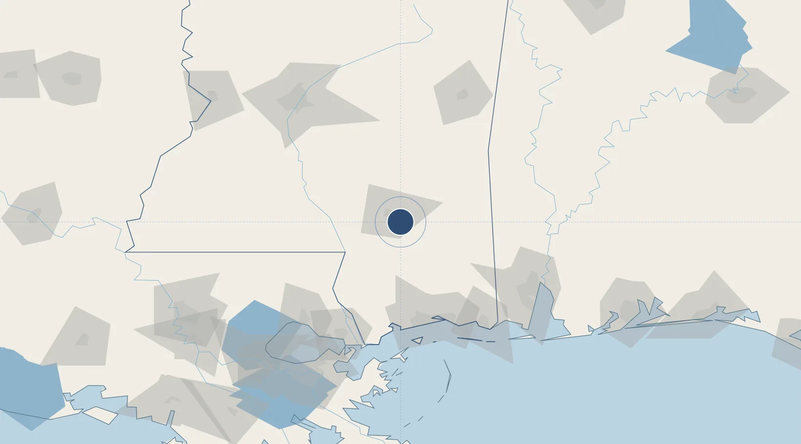
31.2648°, -89.2528°
6,094 ft
Longest runway
1
Runways
151 ft
Elevation

Runway & Layout

Hattiesburg Bobby L Chain Municipal Airport runway & taxiway layout
Runway & taxiway layout — OpenStreetMap (ODbL) / OurAirports

Radio Frequencies

ASOS
135.425 MHz
CNTR
126.8 MHz
HOUSTON CNTR
UNIC
122.8 MHz
CTAF/UNICOM
OurAirports

Runways · 1

RunwayDimensions SurfaceTrue headingLit
13/31 6,094 × 150ft Asphalt 131°
OurAirports

Airport Specifications

IATA code
HBG
OurAirports
ICAO code
KHBG
OurAirports
Airport class
Medium airport
OurAirports
Scheduled service
No
OurAirports
Runway surface
Asphalt
OurAirports
Served city
Hattiesburg
OurAirports

Location

Location of KHBG
Natural Earth 10m (public domain) · Mississippi · KHBG · 31.26, -89.25GoogleOSMYandex

Nearby Logistics Neighbours

Airports
  1. 1Hattiesburg Laurel Regional Airport24 km
  2. 2Gulfport Biloxi International Airport97 km
  3. 3Keesler Air Force Base100 km
  4. 4Mobile Regional Airport116 km
  5. 5McComb-Pike County Airport / John E Lewis Field116 km
Nearest neighbours — logibook spatial index (haversine) over the source coordinates
Cities
  1. 1Petal8 km
  2. 2Camp Shelby12 km
  3. 3New Augusta22 km
  4. 4Moselle26 km
  5. 5Richton31 km
Nearest neighbours — logibook spatial index (haversine) over the source coordinates
Ports
  1. 1Gulfport103 km
  2. 2Biloxi104 km
  3. 3Pascagoula121 km
  4. 4Slidell122 km
  5. 5Mobile126 km
Nearest neighbours — logibook spatial index (haversine) over the source coordinates
Trade Zones
  1. 1FTZ No. 092 Harrison County98 km
  2. 2FTZ No. 082 Mobile128 km
  3. 3FTZ No. 002 New Orleans167 km
  4. 4FTZ No. 158 Vicksburg Jackson187 km
  5. 5FTZ No. 124 Gramercy194 km
Nearest neighbours — logibook spatial index (haversine) over the source coordinates
DatabookThe Record of Consolidated Knowledge
United States beyond logistics?
Browse databook

All Sources

AirportsOurAirports
Public domain
Portsthe NGA World Port Index
Public domain (US gov)
LocationsUN/LOCODE
UN/LOCODE — free
Trade Zonesthe World Bank SEZ database
CC BY 4.0
Trade ZonesOpen Zone Map
CC BY
InfrastructureOpenStreetMap
ODbL 1.0
← United States airports