Channel & Berth Profile
Pilotage, Tugs & Services
Pilotage compulsoryYES
Tug assistanceNO
Salvage tugsNO
Shore powerYES
Potable waterYES
Diesel bunkersYES
MedicalYES
Garbage disposalYES
Facilities & Capabilities
Container—
Ro-Ro—
Liquid bulk—
Dry bulk—
Oil terminal—
Break bulk—
Dry dock—
RepairsNO
BunkeringYES
Rail linkYES
Dangerous cargo—
ISPS security—
Harbour Specifications
Harbour size
Small
Harbour type
River (Natural)
Shelter
Excellent
Water body
North Atlantic Ocean
Tidal range
0.9 m
Overhead limit
Yes
Pilotage
Yes
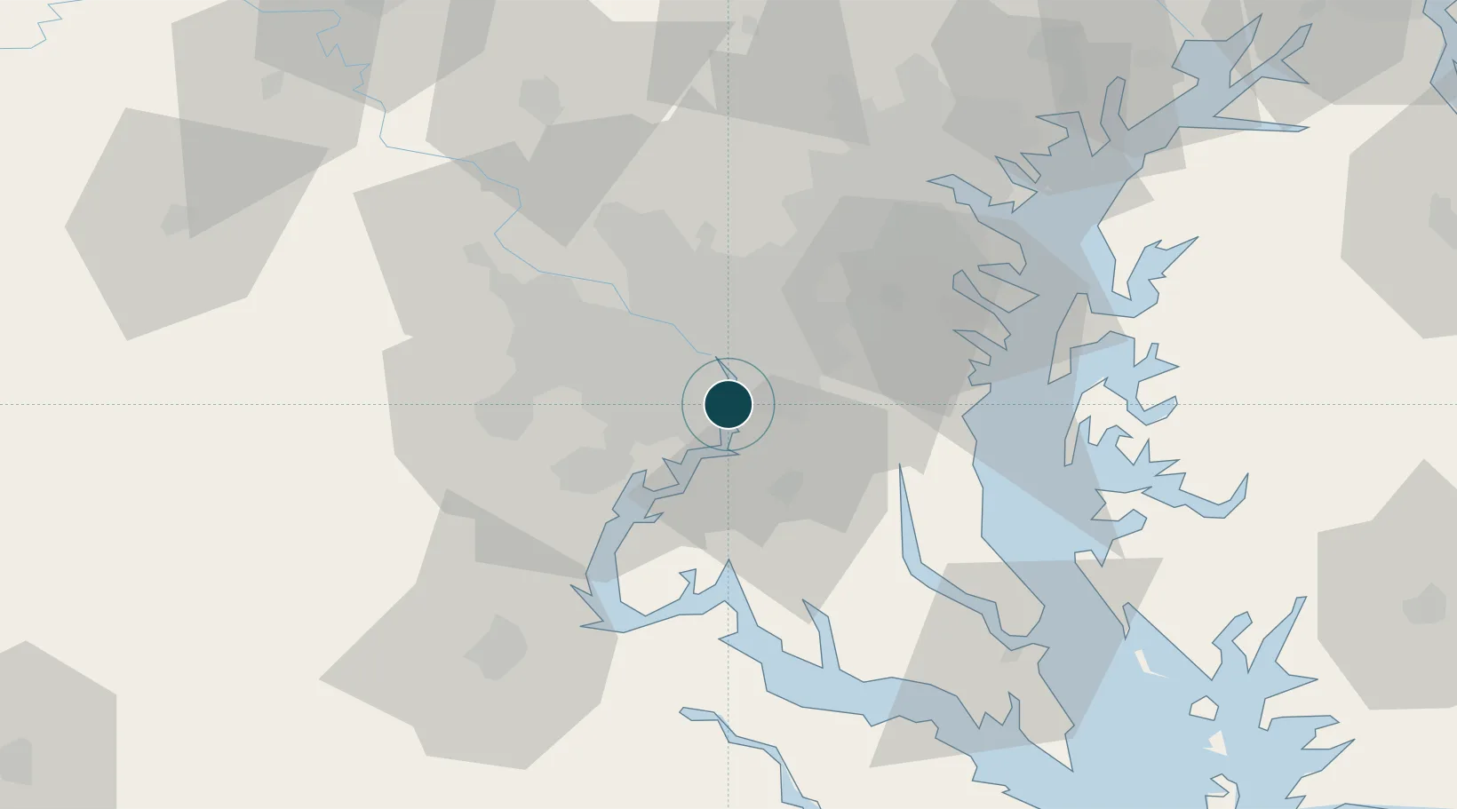
Location
Nearby Logistics Neighbours
Ports
- 1Washington D.C.7 km
- 2Annapolis52 km
- 3Baltimore65 km
- 4Fredericksburg66 km
- 5Solomons Island74 km
Cities
- 1Marlow Heights8 km
- 2District Heights14 km
- 3Bristow14 km
- 4Andrews AFB15 km
- 5Willston16 km
Airports
Trade Zones
DatabookThe Record of Consolidated Knowledge
United States beyond logistics?