Medium airport · United States
Joint Base AndrewsKADW
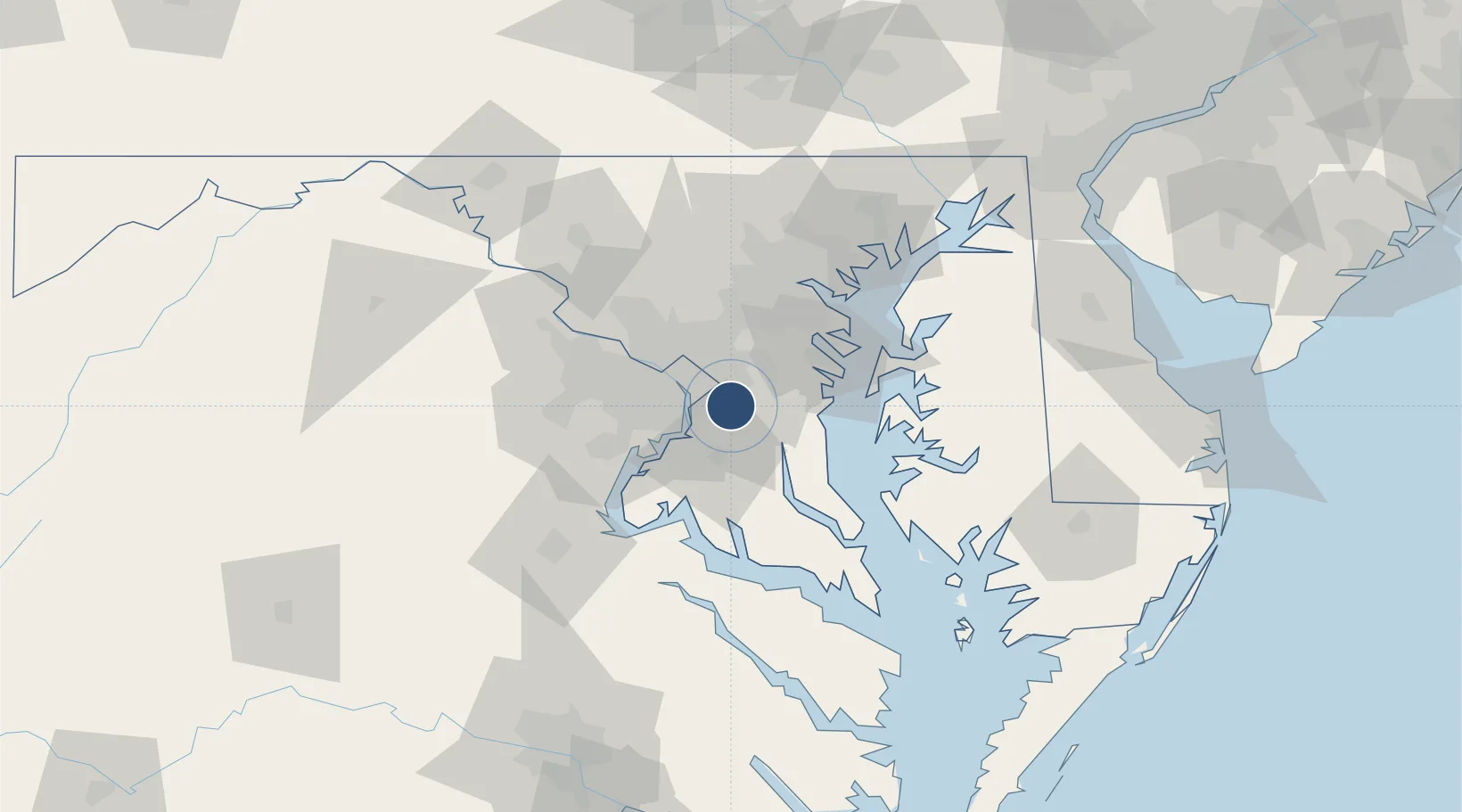
38.8108°, -76.8670°
11,301 ft
Longest runway
2
Runways
280 ft
Elevation
Runway & Layout

Radio Frequencies
ATIS
113.1 MHz
TWR
118.4 MHz
GND
121.8 MHz
CLD
127.55 MHz
CLNC DEL
APP
119.3 MHz
POTOMAC APP
DEP
125.65 MHz
POTOMAC DEP
OPS
143.8 MHz
AFRC OPS
PMSV
34.46 MHz
PMSV METRO
POST
141.55 MHz
COMD POST
PTD
139.3 MHz
Navaids
ADW VORTAC Andrews 113.10 MHz
MX NDB Zoote 232 kHz
RW NDB Kirbe 360 kHz
Runways · 2
| Runway | Dimensions | Surface | True heading | Lit |
|---|---|---|---|---|
| 01L/19R | 11,301 × 200ft | Concrete | 360° | ✓ |
| 01R/19L | 9,756 × 150ft | Asphalt / concrete | 360° | ✓ |
Airport Specifications
IATA code
ADW
ICAO code
KADW
Airport class
Medium airport
Scheduled service
No
Runway surface
Concrete
Served city
Camp Springs
Location
Nearby Logistics Neighbours
Airports
Cities
- 1Andrews AFB3 km
- 2District Heights5 km
- 3Marlow Heights7 km
- 4Upper Malboro10 km
- 5Largo10 km
Ports
- 1Alexandria15 km
- 2Washington D.C.16 km
- 3Annapolis38 km
- 4Baltimore56 km
- 5Solomons Island66 km
Trade Zones
DatabookThe Record of Consolidated Knowledge
United States beyond logistics?