Channel & Berth Profile
Pilotage, Tugs & Services
Pilotage compulsoryYES
Shore powerYES
Potable waterYES
Diesel bunkersYES
MedicalYES
Facilities & Capabilities
Container—
Ro-Ro—
Liquid bulk—
Dry bulk—
Oil terminal—
Break bulk—
Dry dock—
RepairsNO
Bunkering—
Rail linkYES
Dangerous cargo—
ISPS security—
Harbour Specifications
Harbour size
Very Small
Harbour type
River (Natural)
Shelter
Excellent
Water body
North Atlantic Ocean
Tidal range
0.3 m
Overhead limit
Yes
Pilotage
Yes
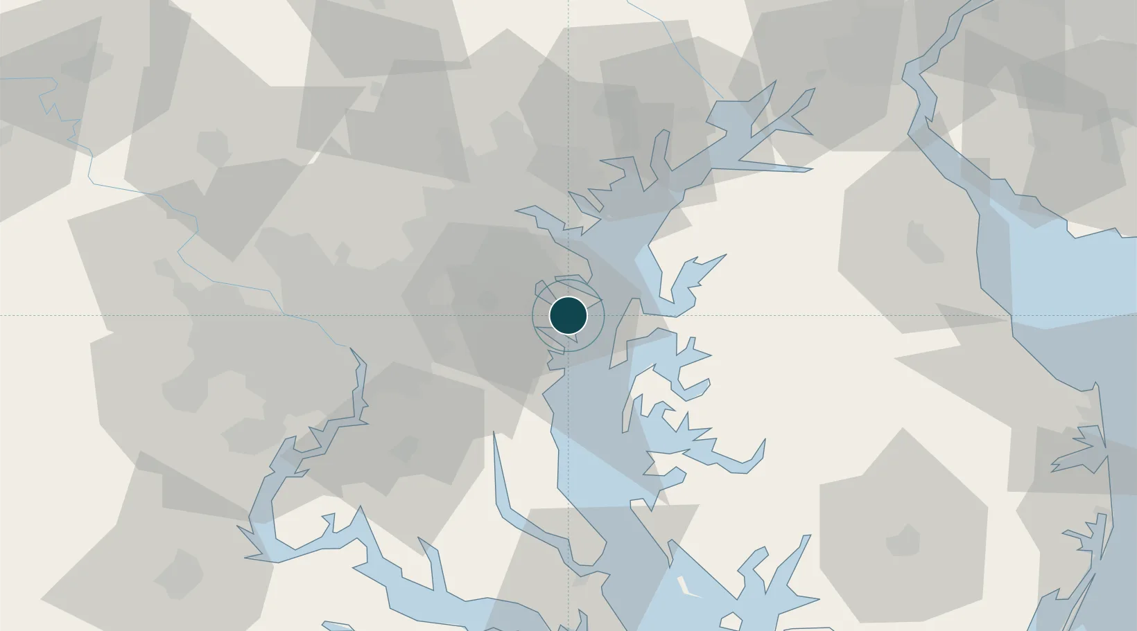
Location
Nearby Logistics Neighbours
Ports
- 1Baltimore33 km
- 2Washington D.C.49 km
- 3Alexandria52 km
- 4Havre De Grace70 km
- 5Solomons Island74 km
Cities
- 1Arnold6 km
- 2Pasadena15 km
- 3Harwood19 km
- 4Bowie23 km
- 5Mitchellville24 km
Airports
Trade Zones
DatabookThe Record of Consolidated Knowledge
United States beyond logistics?